Search Results
- IDNO:
- 001719
- Title:
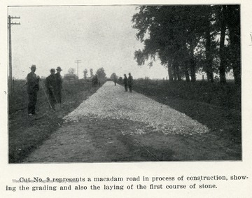
- Grading and Laying the First Course of Stone on a Macadam Road
- Date:
- ca. 1908
- Description:
- Caption reads, 'Cut No. 9 represents a macadam road in process of construction, showing the grading and also the laying of the first course of stone.'
- IDNO:
- 001720
- Title:
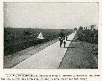
- Macadam Road after the Top Course Has Been Applied
- Date:
- ca. 1908
- Description:
- Caption reads, 'Cut No. 10 represents a macadam road in process of construction after the top course has been applied and is now ready for the roller.'
- IDNO:
- 001721
- Title:
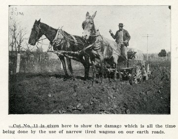
- Earth Road Damage by Narrow Tired Wagons
- Date:
- ca. 1908
- Description:
- Caption reads, 'Cut No. 11 is given here to show the damage which is all the time being done by the use of narrow tired wagons on our earth roads.'

- IDNO:
- 001722
- Title:
- Concrete Culvert under the Government Test Road near Huntington, W. Va.
- Date:
- ca. 1908
- Description:
- Caption reads, 'Cut No. 12 represents a concrete culvert passing under the Government Test Road near the city of Huntington, W.Va. This culvert has a concrete bottom, concrete wings for retaining the road and also for catching the water.'
- IDNO:
- 001723
- Title:
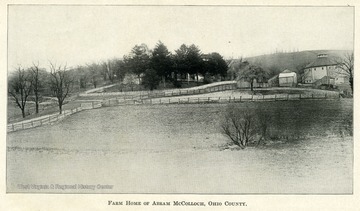
- Farm House of Abram McColloch, Ohio County
- Date:
- ca. 1907
- Description:
- A fenced in field with a barn and farm houses in the background.
- IDNO:
- 001724
- Title:
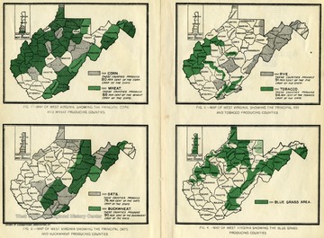
- Maps of West Virginia Showing Principle Crops
- Date:
- ca. 1907
- Description:
- Figure 1 shows the counties that produce the principle corn and wheat crops. Figure 2 shows the counties that produce the principle oat and buckwheat crops. Figure 3 shows the counties that produce the principle rye and tobacco crops. Figure 4 shows the counties that produce the principle blue grass.
- IDNO:
- 001725
- Title:
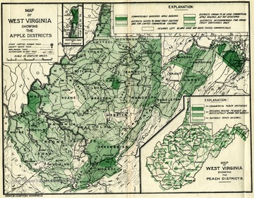
- Map of West Virginia Showing the Apple Districts
- Date:
- ca. 1907
- Description:
- This map shows the various types of apple orchards in the state of W. Va. The types range from commercially developed apple regions to homegrown apple orchards.
- IDNO:
- 001726
- Title:
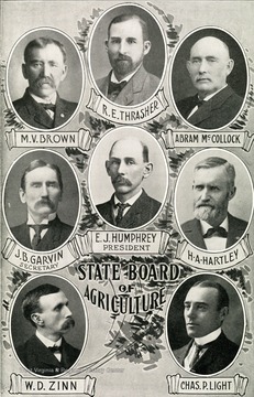
- Members of the W. Va. State Board of Agriculture
- Date:
- ca. 1907
- Description:
- Separate portraits of each member of the State Board of Agriculture. Left to right. Top: M.V. Brown, R.E. Thrasher, Abram McCollock. Middle: J.B. Garvin, Secretary, E.J. Humphrey, President, H.A. Hartley. Bottom: W.D. Zinn, Chas P. Light.
- IDNO:
- 001727
- Title:
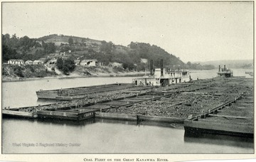
- Coal Fleet on the Great Kanawha River
- Date:
- ca. 1907
- Description:
- Five barges full of coal lined up on the river.
- IDNO:
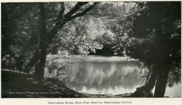
- 001728
- Title:
- Greenbrier River, Near Fort Springs, Greenbrier County
- Date:
- ca. 1907
- Description:
- A river mirrors the distant bank full of leafy trees and a grassy hill.
- IDNO:
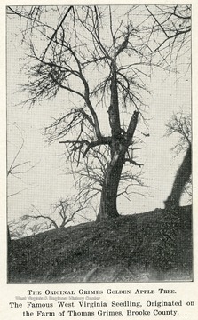
- 001729
- Title:
- Original Grimes Golden Apple Tree, Brooke County
- Date:
- ca. 1907
- Description:
- Apple tree growing on a hillside. Caption reads, 'The famous West Virginia seedling, originated on the farm of Thomas Grimes, Brooke County.'
- IDNO:
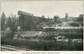
- 001730
- Title:
- Coal Tipple and Coke Ovens, Harding, Randolph County
- Date:
- ca. 1907
- Description:
- A coal processing plant, which shows the various buildings and railroad tracks.


