Search Results
IDNO:
005474
Title:
Charleston Skyline in 1901 (Top) and 1951 (Bottom,) Charleston, W. Va.
Date:
1901, 1951
Description:
"The Charleston skyline as it appeared at the time the Kanawha Banking [and] Trust Company began business-in 1901. Note the old capitol in the center background and the ferry landing before the C [and] O bridge was built"; In the bottom picture, "modern Charleston as it appears today. Front street has become Kanawha Boulevard and towering skyscrapers fill the landscape. The Kanawha Banking [and] Trust Company building appears at the left beyond the Union building."
IDNO:
011038
Title:
Rural Woodland Scene
Description:
Location unknown.
IDNO:
011172
Title:
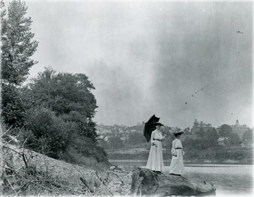
Women on the Bank of the Monongahela River, Westover, W. Va.
Date:
ca. 1900-1910
Description:
Morgantown and West Virginia University buildings visible in the background.
IDNO:
013270
Title:
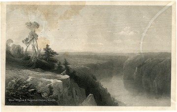
Engraving of 'Memory of the Upper Kanawha Western Virginia'
Description:
Pre-West Virginia statehood era.
IDNO:
013271
Title:
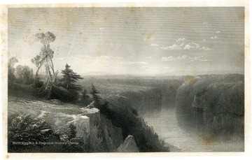
Engraving of 'Memory of the Upper Kanawha Western Virginia'
Description:
Pre-West Virginia Statehood era.
IDNO:
020202
Title:
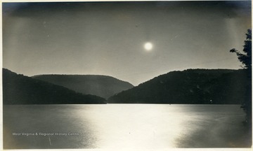
Cheat Lake, Monongalia County, W. Va.
Date:
ca. 1930
Description:
Moon rising over the newly formed Cheat Lake.
IDNO:
025563
Title:
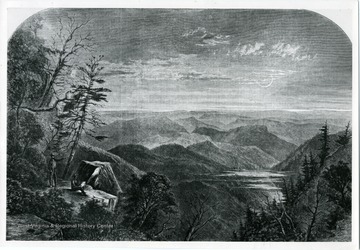
Print of a Mountain View
Description:
Showing two men in the lower left corner on a bedrock admiring mountain view.
IDNO:
025564
Title:
Scenic View of Forest and Stream Bed
IDNO:
025565
Title:
Cross Country Skier on Cheat Mountain
Description:
A man skies on fresh snow on Cheat Mountain.
IDNO:
025566
Title:
Scenic View of a Frozen Stream
IDNO:
025567
Title:
Man Standing in a Stream or River Surrounded by Forest
IDNO:
025568
Title:
Mountain View
Date:
ca. 1958
IDNO:
025569
Title:
Mountain View
Date:
ca. 1958
IDNO:
025570
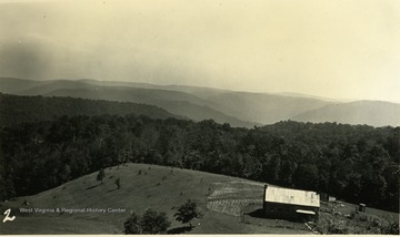
Title:
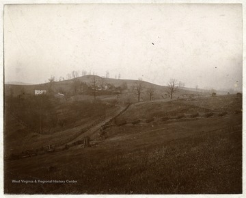
Scenic View of a West Virginia Farm on a Hillside
Date:
ca. 1890-1910
Description:
'Your Aunt Sallie's' written on back of photograph.
IDNO:
025571
Title:
Two Views of a Cemetery with a Tree in the Center
IDNO:
025572
Title:
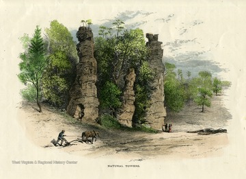
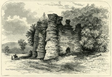
Etching of Natural Towers, Augusta County, Va.
Date:
1894
Description:
Published in 'Picturesque America.'
IDNO:
025573
Title:
Etching of Natural Towers, Augusta County, Va.
Date:
1894
Description:
Published in 'Picturesque America.'
IDNO:
025578
Title:
Scenic View of an Unidentified West Virginia River
IDNO:
025579
Title:
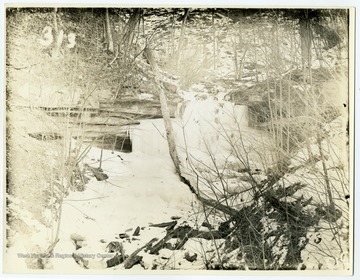
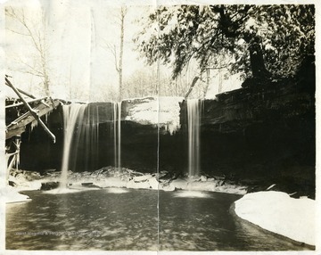
Winter Waterfall
IDNO:
028241
Title:
Parade
Date:
ca. 1905-1925
Description:
August 30 to September 3, 1909.
IDNO:
028274
Title:
Building Next to Harvested Field
Date:
ca. 1905-1925
Description:
A building next to harvested field.
IDNO:
028315
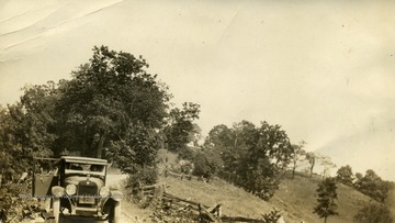
Title:
Men Behind The Wheel of their Touring Car
Date:
ca. 1905-1925
IDNO:
028368
Title:
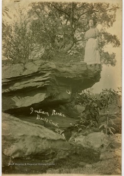
Unidentified Woman at Indian Rocks, Boots Creek, W. Va.
Date:
ca. 1905-1925
Description:
Could be Booth's Creek.
IDNO:
028376
Title:
Store Selling Dr. Shoop's Restorative
Date:
ca. 1905-1925
IDNO:
028599
Title:
Posing in a Photographer's Blimp Ride Set Up
Date:
1912/11/22
Description:
A blimp in the air with two males in a basket flies over a city view: a composite photo.
IDNO:
028728
Title:
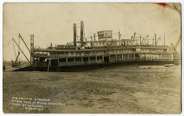
Steamer Virginia Stranded in a Cornfield at Willow Grove, Jackson County, W. Va.
Date:
ca. 1905-1925
IDNO:
028789
Title:
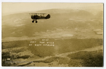
Airplane Over the HIlls of West Virginia
Date:
ca. 1905-1925
Description:
An aerial view of West Virginian hills.
IDNO:
028911
Title:
Flood Scene with Stewart Farm, Sistersville, W. Va.
Date:
1913
IDNO:
029498
Title:
Meadow Near Camp on Middle Fork River
Date:
1912
IDNO:
029703
Title:
Travelers Stop Horse Drawn Carriage at a Scenic Location
Date:
ca. 1900
Description:
A Horse drawn carriage and passengers out in a scenic mountain view.
IDNO:
029704
Title:
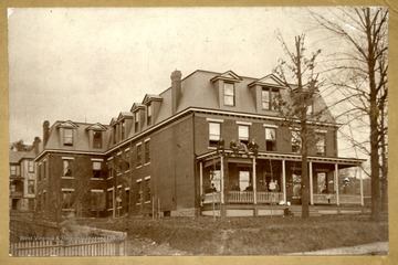
Episcopal Hall, West Virginia University
Date:
ca. 1900
Description:
Students on the porch as well as on the roof of the porch for a photo.
IDNO:
029706
Title:
Episcopal Hall, West Virginia University
Date:
ca. 1900
IDNO:
030924
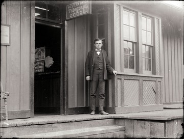
Title:
Telegraph Operator in front of Western Union Office
Date:
1890-1915
Description:
Location of telegraph office is unknown.
IDNO:
032428
Title:
Native American Burial Mound
IDNO:
033101
Title:
Aerial View of Unidentified Pond
IDNO:
033107
Title:
Unidentified Electric Shop Worker
IDNO:
033111
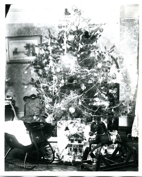
Title:
Heavily Decorated Christmas Tree Surrounded by Gifts
IDNO:
033112
Title:
Employees in front of Smiths Book Store
IDNO:
033500
Title:
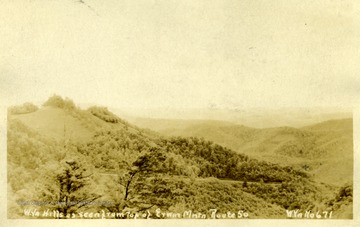
Road Scene on Route 50, Ervin Mountain
IDNO:
033501
Title:
View of West Virginia Hills from Route 50
Description:
The view is from Ervin Mountain, Route 50.
IDNO:
034236
Title:
Encampment of 1st W. Va., 160th I.N., and 3rd K.Y. Regiments
Date:
ca. 1890-1912
IDNO:
034843
Title:
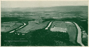
Panorama of Shenandoah Valley, Va.
Description:
'Taken from the "Viewing Spot" on Massanutten Mountain, showing Woodstock, the county seat of Shenandoah County, Virginia, and the Alleghany Mountains to the westward. At the foot of Massanutten is the Shenandoah River with its famous seven "horseshoe bends," winding its way amid fertile fields and beautiful farm properties. This view at sunset is especially inspiring and it is little wonder that Governor Spotswood and his "Knights of the Golden Horseshoe" dedicated themselves to the "winning of the West" after crossing the Blue Ridge at Swift Run Gap.'
IDNO:
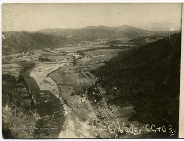
034844
Title:
View of Chucky Valley, C. C, & O, Ry., TN.
Description:
Ariel view of the valley and the Carolina, Clinchfield and Ohio Railroad.
IDNO:
034845
Title:
Elevated View of Unidentified Town
IDNO:
034846
Title:
Elevated View of Farm and Surrounding Area in Mountains
IDNO:
034847
Title:
Country Road in West Virginia
IDNO:
034849
Title:
Apple Blossom Tree in W. Va.
IDNO:
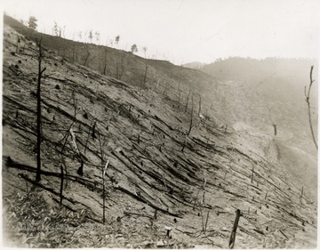
036116
Title:
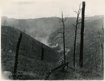
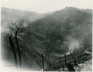
View of Coal Deforestation, Island Creek Coal Company
IDNO:
036117
Title:
View of Coal Deforestation, Island Creek Coal Company, Southern W. Va.
Description:
On the back: "#10 at #7."
IDNO:
036118
Title:
View of Coal Deforestation, Island Creek Coal Company
Description:
On the back: " #4 at 1."
IDNO:
036203
Title:
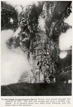
Tree at Boone Creek
Date:
1914
Description:
On the front: " Boone Creek is named after Daniel Boone, who passed through this country in 1781. The tree still stands and is in a healthy condition. It is located about two miles from Fleming, near the lower end of the property."
IDNO:
036453
Title:
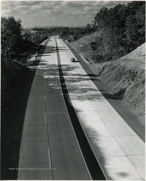
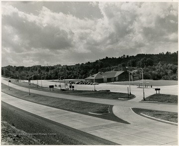
View of Highway
Description:
From "Beckley U.S.A." by Harlow Warren. Harlow Warren, copyright 1955.
IDNO:
036454
Title:
View of Rest Area Before Entering West Virginia
Description:
From "Beckley U.S.A." by Harlow Warren.
IDNO:
036455
Title:
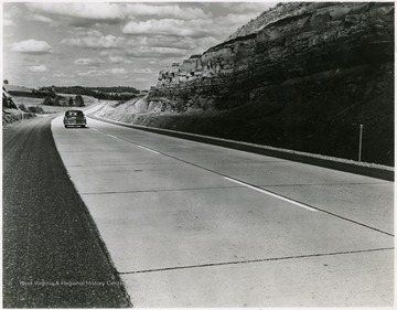
View of Highway
Description:
From "Beckley U.S.A." by Harlow Warren. Harlow Warren, copyright 1955.
IDNO:
036583
Title:
Unidentified Power Plant
IDNO:
037898
Title:
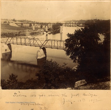
View of Bridges and Potomac River at Shepherdstown, W. Va.
Date:
1892/07/13
Description:
The photograph was taken 100 yards above the foot bridge.
IDNO:
037904
Title:
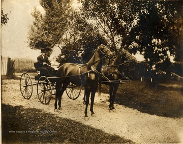
Unidentified Man and Girl in Horse Drawn Buggy
Description:
A man and little girl sitting in four wheeled buggy harnessed to two horses. The little girl is possibly Frances Packette.
IDNO:
037919
Title:
Shenandoah River
IDNO:
037939
Title:
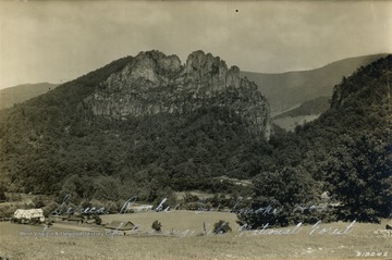
Seneca Rocks in Pendleton County, W. Va.
Date:
ca. 1929
Description:
800 foot high cathedral-shaped mass of rock.
IDNO:
037940
Title:
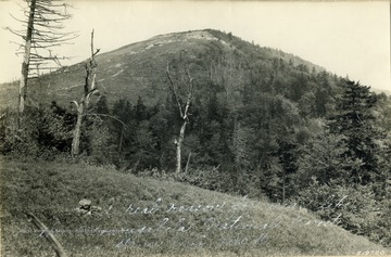
Spruce Knob, Monongahela Forest, Pendleton County, W. Va.
Date:
ca. 1929
Description:
Spruce Knob, 4860 ft
IDNO:
037941
Title:
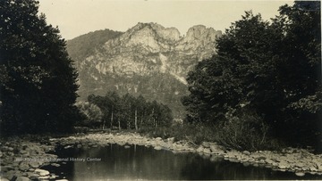
Seneca Rocks in Smoke Hole, Pendleton County, W. Va.
Date:
ca. 1929
Description:
Seneca Rocks in Smoke Hole, Pendleton County is an extension of the Monongahela National Forest
IDNO:
037942
Title:
Blackwater Falls, Tucker County, W. Va.
Date:
ca.1929
Description:
The Blackwater Falls are considered the highest falls in the state.
IDNO:
037943
Title:
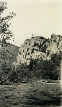
Castle Rock in Smoke Holes, Pendleton County, W. Va.
Date:
ca. 1929
Description:
The South Branch of the Potomac River flowing by the base of Castle Rock.
IDNO:
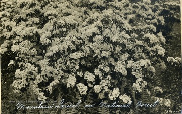
037944
Title:
Mountain Laurel in Monongahela National Forest, W. Va.
Date:
ca. 1929
Description:
Huge growth of mountain laurel in full bloom.
IDNO:
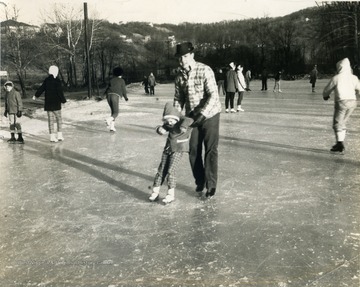
038011
Title:
Ice Skating With A Little Help
Description:
Unidentified little girl gets help ice skating from unidentified man.
IDNO:
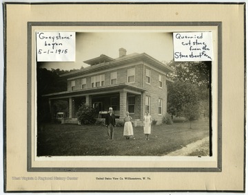
038071
Title:
Greystone
Description:
Quarried cut stone from the Stonestreet farm. Began 5/1/1915.
IDNO:
038073
Title:
Stonestreet Farm
Date:
ca.1916-1917
IDNO:
038076
Title:
Old Stonestreet Home
Description:
Destroyed by fire 9/14/1914
IDNO:
038082
Title:
Engine-Gas House on Stonestreet Farm
IDNO:
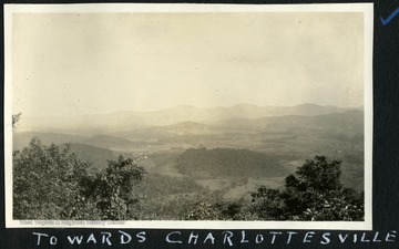
038109
Title:
View Towards Charlottesville, Va.
Date:
ca. 1920-1925
Description:
Photograph, possible taken from Monticello, Thomas Jefferson's home.
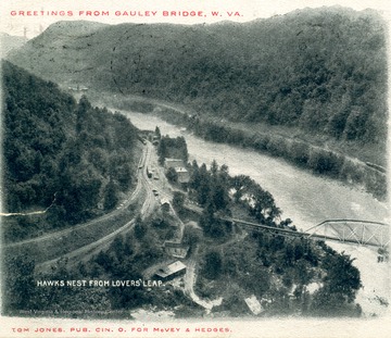
IDNO:
038272
Title:
View From Lover's Leap at Hawks Nest, W. Va.
Date:
1907
Description:
Post card print showing bridge crossing the New River.
IDNO:
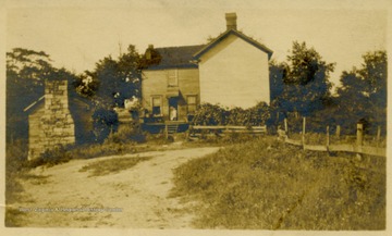
038391
Title:
House in Countryside
IDNO:
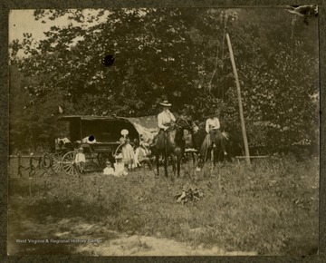
038406
Title:
Camping Scene of Rev. T. A. Haldeman
Date:
1902/05/02
Description:
Family camp site, possibly in Monongalia County, W. Va. including a wagon and horsebacking riding.
IDNO:
038474
Title:
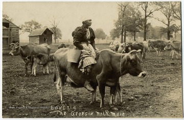
'Lovenia The Georgia Milkmaid'
Date:
Undated
Description:
African-American woman holding a milking pail while sitting on a dairy cow.
IDNO:
038879
Title:
Horseshoe Run Near Lead Mine Camp, Tucker County, W. Va.
Date:
ca. 1936
IDNO:
039087
Title:
Merry Coaching Party at Ford on Greenbrier River, W. Va.
Date:
1903/07/09
Description:
A stage coach stopped at a ford in the river for the horses to drink and the passengers pose for a photograph.
IDNO:
039654
Title:
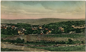
View of Round Hill, Va.
Date:
1912/11/20
Description:
Colored illustrated postcard. See back of the original image for correspondence.
IDNO:
039655
Title:
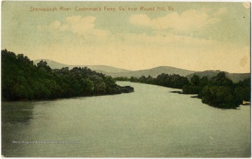
Shenandoah River Castleman's Ferry, Near Round Hill, Va.
Date:
1912/11/20
Description:
Colored postcard photograph. See back of the original image for correspondence.
IDNO:
039656
Title:
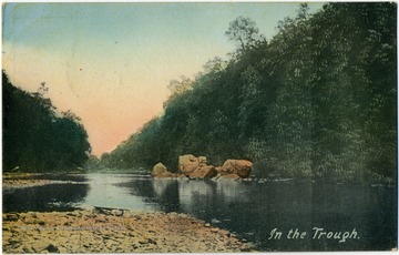
In the Trough, Moorefield, W. Va.
Date:
1912
Description:
Colored postcard photograph of the "Trough", a six mile stretch of the South Branch of the Potomac River. See back of the original image for correspondence.
IDNO:
039803
Title:
Snow Scene on West Virginia University Campus, Morgantown, W. Va.
Date:
ca. 1898
Description:
This image was develop with, among other chemicals, cyanide, resulting in a blue colored print. The prints are called cyanotypes.
IDNO:
039804
Title:
Snow Scene Near West Virginia University Campus, Morgantown, W. Va.
Date:
ca. 1898
IDNO:
039839
Title:
'Natural as Life', Taylor County, W. Va.
Date:
ca. 1905
Description:
Ada Enid Haldeman and Arthur C. Thomas.
IDNO:
039840
Title:
'Just a Gleam of Heaven in Her Eye', Taylor County, W. Va.
Date:
1906/08/06
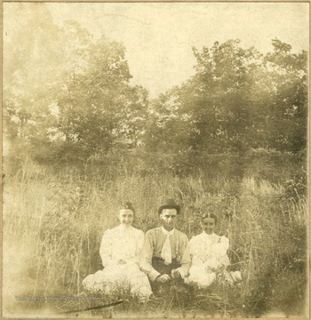
Description:
Sitting in the tall grass, Ada Enid Haldeman, Arthur C. Thomas and Olivia L. Haldeman.
IDNO:
040074
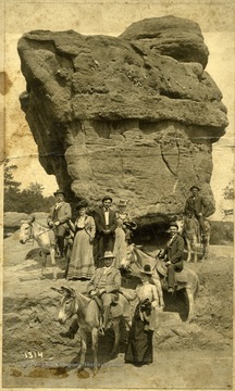
Title:
Donkey Riders and Unmounted Group at Balanced Rock Near Elkins, W. Va.
Date:
ca. 1900
Description:
Identified as being in the photograph are, "Ed Snider and wife, George Vance and wife, Dr. Hall, Simon Garrison". The donkeys were not identified.
IDNO:
040109
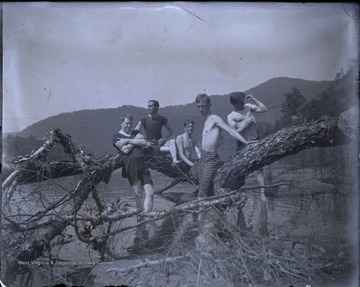
Title:
Swimmers Pose on Fallen Tree, Summers County, W. Va.
Description:
Five unidentified young men pose on the limb of a tree lying in a river.
IDNO:
040119
Title:
Riding by Wagon and Horseback, Summers County, W. Va.
Description:
Unidentified mounted rider and passengers in a horse drawn wagon travel down a dirt road.
IDNO:
040183
Title:
West Virginia Mountains Between Valley Head and Webster Springs, W. Va.
Date:
1933
Description:
Photograph taken at approximately 4500 feet above sea level.
IDNO:
040754
Title:
Raven Rocks, W. Va.
Description:
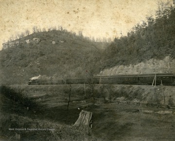
A passager train travels through the Raven Rocks area.
IDNO:
040967
Title:
Summer Botany Class 'Wooster'
Date:
Undated
Description:
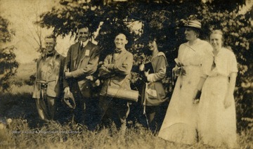
People identified: Arthur Southwich and Grace Filmore
IDNO:
040979
Title:
Temple Street, Hinton, W. Va.
Date:
ca. 1935
Description:
Banner over the road in photograph reads: "For The Good Roads Amendment November 2nd".
IDNO:
040981
Title:
New River from Hawk's Nest, W. Va.
Description:
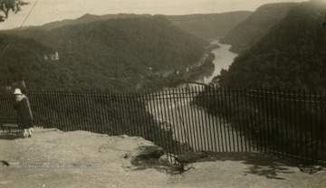
View of the New River from Hawk's Nest, West Virginia.
IDNO:
041121
Title:
Celebration of West Virginia Centennial
Date:
1963
Description:
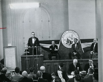
Celebration of West Virginia's 100 years of statehood.
IDNO:
041122
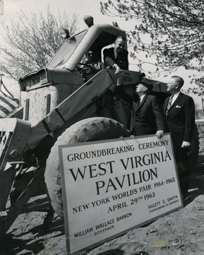
Title:
Groundbreaking Ceremony for West Virginia Pavilion, New York
Date:
1963/04/29
Description:
Constructed for the New York World's Fair 1964-1965. In picture: William Wallace Barron- Governor and Hulett C. Smith- Commissioner of Commerce
IDNO:
041226
Title:
Part Of Roger Farm in Southern West Virginia
Description:
Located in southeast West Virginia.
IDNO:
041229
Title:
View of Freight Train Three Miles Away, W. Va.
Description:
Southeast West Virginia.
IDNO:
041254
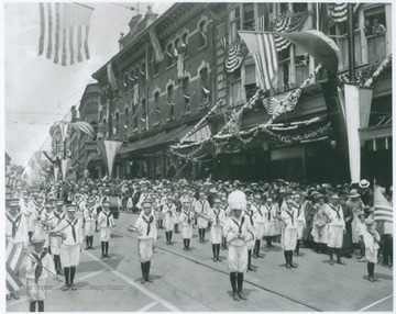
Title:
St. Mary's Phife and Drum March in John W. Davis Parade
Date:
1924
![Charleston Skyline in 1901 (Top) and 1951 (Bottom,) Charleston, W. Va. "The Charleston skyline as it appeared at the time the Kanawha Banking [and] Trust Company began business-in 1901. Note the old capitol in the center background and the ferry landing before the C [and] O bridge was built"; In the bottom picture, "modern Charleston as it appears today. Front street has become Kanawha Boulevard and towering skyscrapers fill the landscape. The Kanawha Banking [and] Trust Company building appears at the left beyond the Union building."](/thumb/005474.jpg)

