Search Results
IDNO:
052192
Title:
Quinnimont, W. Va.
Date:
undated
Description:
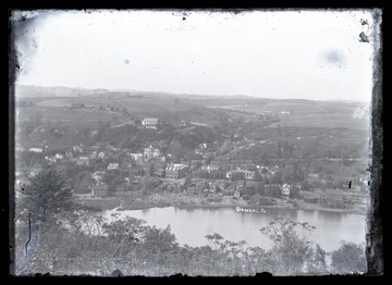
View overlooking the small town which was located on Route 41 near the New River. The New River Coal Company had mines in Quinnimont.
IDNO:
052201
Title:
Side View of Company Store, Sun, W. Va.
Date:
ca. 1900
IDNO:
052293
Title:
Cutting Stone, likely in Harrison County, W. Va.
Date:
ca. 1900-1920
Description:
A man on a horse sits on top of a hill, where below there are stonemasons cutting into the rock.
IDNO:
052362
Title:
Birds Eye View of Dawson, Pa.
Date:
ca. 1900-1920
Description:
View overlooking the town of Dawson, Pennsylvania.
IDNO:
052405
Title:
Hawks Nest Overlook, Fayette County, W. Va.
Date:
undated
Description:
Scene at Hawks Nest State Park.
IDNO:
052445
Title:
Rolling Hills of Amity, Pa.
Date:
undated
Description:
Houses are scattered at the top of hill.
IDNO:
052448
Title:
Construction on Cheat Haven, Pa.
Date:
undated
Description:
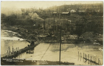
Construction managed by contractor T. A. Gillsepie is conducted across the river and along the river bank.
IDNO:
052453
Title:
Webster Springs Series, Webster Springs. W. Va.
Date:
1909
Description:
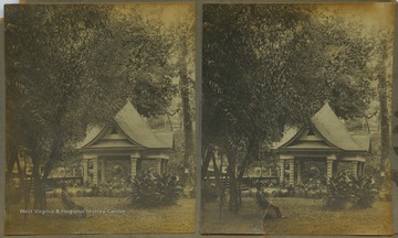
A man sits on a chair in the lawn. In the background is a small pavilion. The stereograph is part of photographer William Dunnington's "Webster Springs Series."
IDNO:
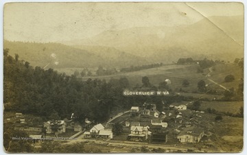
052511
Title:
Bird's-Eye View of Cloverlick, W. Va.
Date:
ca. 1913
Description:
See original for inscription.
IDNO:
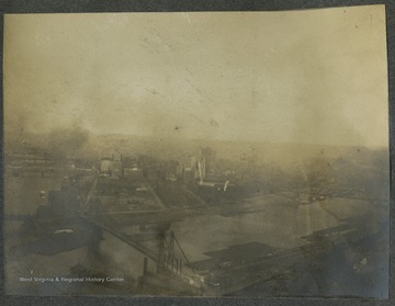
052542
Title:
View of Pittsburgh from Mt. Washington, Pa.
Date:
ca. 1905
Description:
Cityscape of Pittburgh, looking from Mt. Washington.This photograph is found in a scrapbook documenting the survey for the Baltimore and Ohio Railroad in West Virginia and surrounding states.
IDNO:
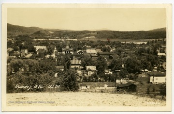
052807
Title:
Romney, W. Va.
Date:
undated
Description:
"May 3rd 1934, Stayed here all night."
IDNO:
052928
Title:
View from Mont Chateau, W. Va.
Date:
undated
Description:
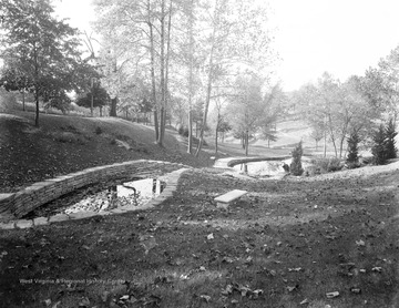
View over Cheat Lake from Mont Chateau State Park.
IDNO:
052944
Title:
Rock Overhang Near River
Date:
ca. 1908/02
IDNO:
053196
Title:
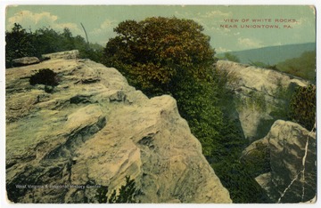
View of White Rocks, Near Uniontown, Pa.
Date:
1910/12/02
Description:
"Looks as if we would have nice weather this afternoon. Not feeling so well today."
IDNO:
053430
Title:
Bird's Eye Views of Fairmont Showing River and New South Side Bridge
Date:
ca. 1921
IDNO:
053542
Title:
Allegheny Front and New Creek Mountains, W. Va.
Date:
undated
Description:
Photograph taken 8 miles west of New Creek, W. Va. on US Route 50. Elevation 2725 feet.
IDNO:
053620
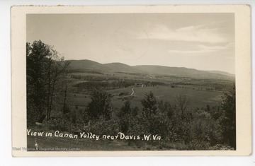
Title:
View of Canaan Valley, Near Davis, W. Va.
Date:
ca. 1942
IDNO:
053621
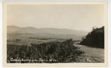
Title:
Canaan Valley near Davis, W. Va.
Date:
undated
IDNO:
053622
Title:
View over Canaan Valley near Davis, W. Va.
Date:
undated
IDNO:
053655
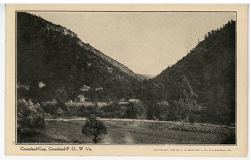
Title:
Greenland Gap, W. Va.
Date:
ca. 1922
Description:
A view showing some buildings in Greenland Gap, Grant County, W. Va.
IDNO:
053656
Title:
Greenland Gap, W. Va.
Date:
undated
IDNO:
053657
Title:
View from Sheer Mountain, W. Va.
Date:
undated
Description:
Greenland Gap can be seen in the distance.
IDNO:
053659
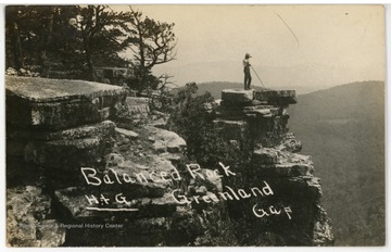
Title:
Balanced Rock, Greenland Gap, W. Va.
Date:
ca. 1910
Description:
A hiker has climbed to the top of Greenland Gap and is posing on a rock outcrop.
IDNO:
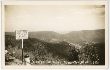
053660
Title:
View from Allegheny Front Mountain, W. Va.
Date:
undated
Description:
The sign reads, "Nancy Hanks, mother of Lincoln, was born beyond the Saddle."
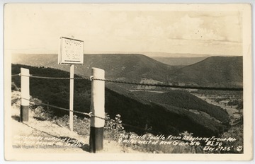
IDNO:
053661
Title:
The Devil's Saddle, W. Va.
Date:
undated
Description:
Text on the front reads, "Nancy Hanks, mother of Lincoln, was born beyond the Saddle. The Devil's Saddle from Allegheny Front Mountain, 8 miles west of New Creek, W. Va. U.S. 50. Elevation 2725 feet."
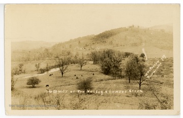
IDNO:
053669
Title:
A Glimpse of the Valley at Luney's Creek, W. Va.
Description:
Luney's Creek is located near the town of Petersburg in Grant County, W. Va.
IDNO:
053681
Title:
The Quiet Country Home, Horton, W. Va.
Date:
undated
IDNO:
053692
Title:
Parsons, W. Va.
Date:
ca. 1951
IDNO:
053726
Title:
Bird's Eye View of Petersburg, W. Va.
Date:
undated
IDNO:
053756
Title:
Allegheny Mountains, Near New Creek, W. Va.
Date:
undated
Description:
The caption reads, "A view looking east from the front Mt. of the Alleghenies. U. S. 50. 8 miles west of New Creek, W. Va."
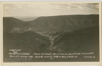
IDNO:
053757
Title:
Mike's Gap and the Devil's Saddle, Allegheny Mountains, W. Va.
Date:
undated
Description:
The caption reads, "Mike's Gap and the Devil's Saddle. From the front mt. of the Alleghenies. Elv. 2725 ft. This mt. is 5 miles long. Ascend 1600 ft. This is New Creek Mt."
IDNO:
053758
Title:
Allegheny Mountains, W. Va.
Date:
undated
IDNO:
053765
Title:
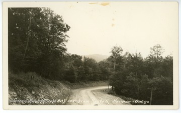
Green Knob seen from Route 5, Harman - Onego, W. Va.
Date:
undated
Description:
Green Knob altitude is 4710 ft.


