Search Constraints
« Previous |
1 - 48 of 334
|
Next »
Search Results
IDNO:
012258
Title:
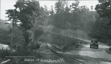
Glen Jean, Fayette County, W. Va.
Description:
Car driving on the road next to the railroads at Glen Jean in Fayette County.
IDNO:
012259
Title:
Street Scene at Gauley Bridge, Fayette County, W. Va.
Date:
ca. 1940
IDNO:
012260
Title:
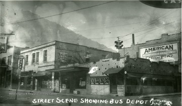
Bus Depot, Montgomery, W. Va.
Date:
ca. 1920
Description:
Street scene showing bus depot in Montgomery, West Virginia.
IDNO:
012261
Title:
Route 60,Gauley Bridge at Confluence of Gauley, New and Kanawha Rivers in Fayette County, W. Va.
IDNO:
012262
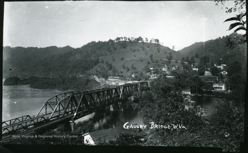
Title:
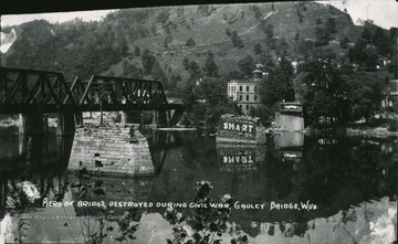
Gauley Bridge, Fayette County, W. Va.
Description:
Next to the Gauley bridge, you can see piers that were destroyed during the Civil War.
IDNO:
012263
Title:
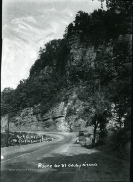
Route 60 at Gauley Junction, Fayette County, W. Va.
Description:
View of Route 60 at Gauley Junction. High cliffs one mile east of Gauley Bridge.
IDNO:
012264
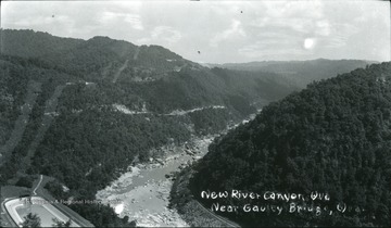
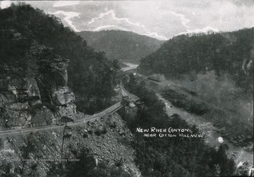
Title:
New River Canyon, Fayette County, W. Va.
Description:
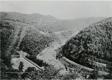
Aerial view of the New River Canyon near Gauley Bridge.
IDNO:
012265
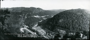
Title:
New River Canyon Near the Gauley Bridge, Fayette County, W. Va.
Description:
Aerial view of the New River Canyon near the Gauley Bridge.
IDNO:
012266
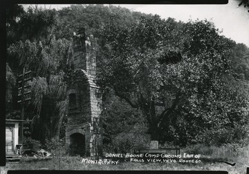
Title:
Daniel Boone Camp Ground, Fayette County, W. Va.
Description:
Daniel Boone camp ground east of Montgomery West Virginia on Route 60.
IDNO:
012267
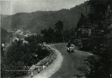
Title:
Route 60 on Gauley Mountain, Fayette County, W. Va.
Description:
View of a car driving down Route 60 on Gauley Mountain.
IDNO:
012268
Title:
Scene from Route 60 Showing Cotton Hill, Fayette County, W. Va.
Description:
Scenes from Route 60 showing Route 19-21, Cotton Hill.
IDNO:
012269
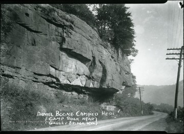
Title:
Camp Rock, Fayette County, W. Va.
Description:
Camp Rock near the Gauley Bridge. Daniel Boone camped here.
IDNO:
012270
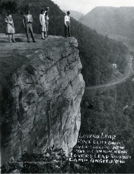
Title:
Lovers' Leap Over Looking the New River Canyon, Fayette County, W. Va.
Description:
Lover's Leap rock cliff '540 ft.' over looking the New River Canyon near Lover's Leap tourist camp in Ansted, West Virginia.
IDNO:
012271
Title:
Route 60 and Bridge at Glen Ferris, Fayette County, W. Va.
IDNO:
012272
Title:
Kanawha River at Gauley Bridge, W. Va.
IDNO:
012273
Title:
New River Canyon on Route 60, Fayette County, W. Va.
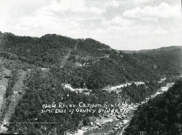
Description:
New River Canyon on Route 60 three miles east of Gauley Bridge.
IDNO:
012274
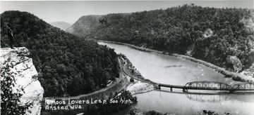
Title:
Aerial View of Lover's Leap, Fayette County, W. Va.
Description:
Aerial view of Lover's Leap '500 feet high' near Ansted.
IDNO:
012291
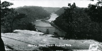
Title:
Hawk's Nest, Fayette County, W. Va.
Description:
View of Hawks Nest near Ansted.
IDNO:
012292
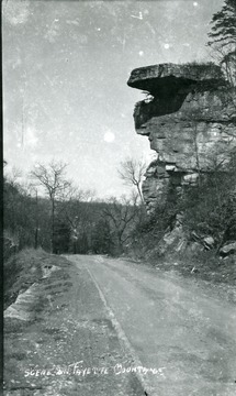
Title:
Fayette Mountain, Fayette County, W. Va.
Description:
Road scene on Fayette Mountain.
IDNO:
012293
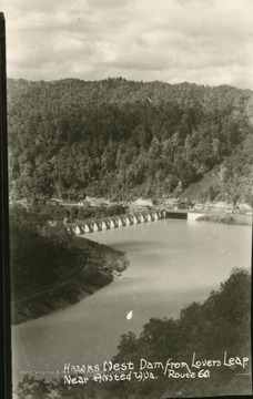
Title:
Hawk's Nest Dam, Fayette County, W. Va.
Description:
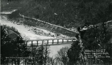
View of Hawk's Nest Dam from Lover's Leap near Ansted on Route 60.
IDNO:
012294
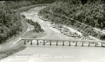
Title:
Hawk's Nest Dam, Fayette County, W. Va.
Description:
Hawk's Nest Dam as viewed from Hawks Nest Rock.
IDNO:
012295
Title:
Lovers' Leap, Fayette County, W. Va.
Description:
Lover's Leap is 500 feet high and over looks the New River Canyon on Route 60 near Ansted West Virginia.
IDNO:
012296
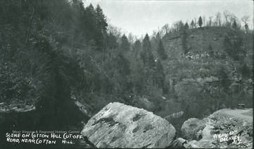
Title:
Cotton Hill, Fayette County, W. Va.
Description:
Scene on Cotton Hill cut-off Road near Cotton Hill.
IDNO:
012297
Title:
New River Canyon, Fayette County, W. Va.
Description:
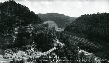
New River Canyon showing Route 19-21 east of Gauley Bridge.
IDNO:
012298
Title:
Hawk's Nest Dam Tunnel Project, Fayette County, W. Va.
Description:
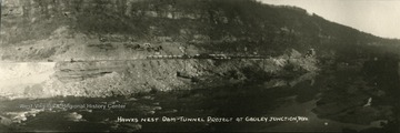
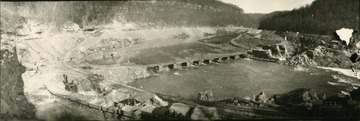
Hawk's Nest Dam tunnel project at Gauley Junction.
IDNO:
012299
Title:
Hawk's Nest Dam Tunnel Project, Fayette County, W. Va.
Description:
Hawk's Nest Dam tunnel project at Gauley Junction.
IDNO:
012300
Title:
High Cliffs on Route 60, Fayette County, W. Va.
Description:
High cliffs east of Gauley Bridge on Route 60 at Gauley Junction.
IDNO:
012302
Title:
Gauley Bridge, Fayette County, W. Va.
Description:
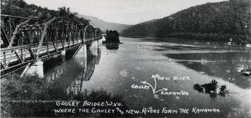
Gauley Bridge where the Gauley and New River form the Kanawha.
IDNO:
012304
Title:
Cotton Hill, Fayette County, W. Va.
Description:
Scenes on Cotton Hill cut-off Road.
IDNO:
012305
Title:
New River Canyon with Power Plant Pool, Fayette County, W. Va.
IDNO:
012307
Title:
Flat Top Mountain, Fayette County, W. Va.
Description:
View of a flat top mountain with an elevation of 3500 feet.
IDNO:
012310
Title:
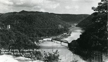
View of Lover's Leap from Hawk's Nest, Fayette County, W. Va.
Description:
View from Hawk's Nest showing Lover's Leap on Route 60.
IDNO:
012311
Title:
Lovers' Leap, Ansted, W. Va.
Description:
View of Lover's Leap on Route 60 in Ansted.
IDNO:
012312
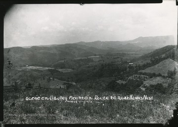
Title:
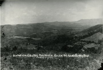
Scene on Gauley Mountain, Fayette County, W. Va.
Description:
Scene on Gauley Mountain on Route 60 near Hawk's Nest.
IDNO:
012313
Title:
Scenic View of a Dam from Hawk's Nest, Fayette County, W. Va.
Description:
View of a dam from Hawk's Nest, over 500 feet high, on Route 60 near Ansted.
IDNO:
012314
Title:
Kanawha Falls Hotel, Fayette County, W. Va.
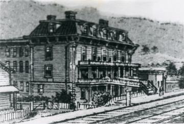
Description:
Built 1868 by Henry Rigg and operated by him and his decendants until 1898 when it was destroyed by a fire. See Kanawha Falls story. 'Robert B. Rigg, Rt. 1 - Box 40-A, Alderson, W. Va.'
IDNO:
012315
Title:
Gauley Bridge, Fayette County, W. Va.
IDNO:
012316
Title:
New River Canyon, Fayette County, W. Va.
Description:
View of the New River Canyon near Cotton Hill.
IDNO:
012317
Title:
Blue Hole Railway Tunnel, Gauley Junction, Fayette County, W. Va.
Date:
ca. 1910
IDNO:
012318
Title:
Scene on Gauley Mountain, Route 60 near Hawk's Nest, Fayette County, W. Va.
IDNO:
012319
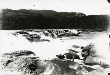
Title:
Falls on the New River, Fayette County, W. Va.
Description:
Falls on the New River in Sandstone, West Virginia.
IDNO:
012320
Title:
Gauley Bridge, Fayette County, W. Va.
Description:
Aerial view of the Gauley Bridge on Route 60.
IDNO:
012321
Title:
Hawk's Nest Dam Viewed from Lover's Leap in Fayette County, W. Va.
IDNO:
012322
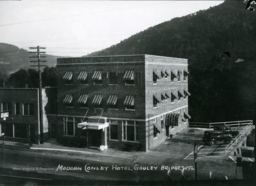
Title:
Conley Hotel at Gauley Bridge, Fayette County, W. Va.
Date:
ca. 1920
Description:
The modern Conley Hotel at Gauley Bridge in Fayette County.
IDNO:
012323
Title:
View of the New River at Gauley Junction, Fayette County, W. Va.
IDNO:
012324
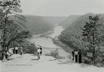
Title:
Hawk's Nest Rock and New River Canyon, Fayette County, W. Va.
Description:
People looking at the aerial view of Hawk's Nest Rock and New River Canyon.
IDNO:
012325
Title:
Train Tracks and the Gauley Bridge, Fayette County, W. Va.
IDNO:
012326
Title:
Route 60, Fayette County, W. Va.
Date:
ca. 1920
Description:
Car driving down Route 60 on Gauley Mountain.
