Search Results
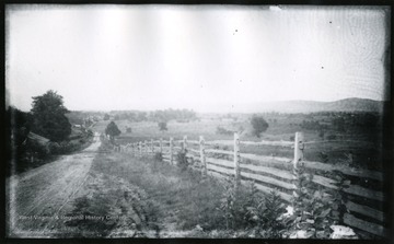
- IDNO:
- 028081
- Title:
- Keedysville from Pike Near Pry's House, Washington County, Md.
- Date:
- 1884/08/06
- Description:
- Part of the 1862 Antietam Battlefield near Sharpsburg'168(98)D I.C. 168; August 6, 1884, Wednesday 5:10 pm'
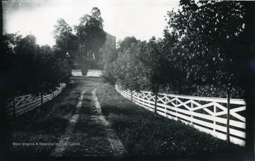
- IDNO:
- 028398
- Title:
- Road Leading to Pry House, McClellan's Headquarters During Battle at Antietam
- Date:
- 1884/08/06
- Description:
- A photograph of a fence-lined road leading up to a house. '167.W.(70); August 6, 1884, Wednesday 5 pm'
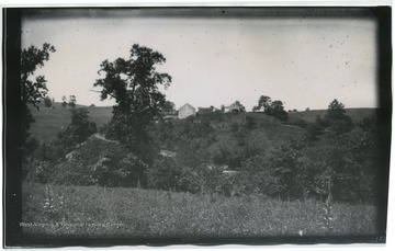
- IDNO:
- 031462
- Title:
- Civil War Battlefield - Burnside Bridge from above on the Union side
- Description:
- Written on the back 161 W(67)
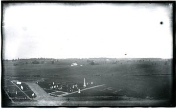
- IDNO:
- 031606
- Title:
- Antietam, Md.
- Description:
- A region about Dunker Church from National Cemetery. The photo was taken on August 5, Tuesday about 5:30pm. D.87.I.C.

- IDNO:
- 031608
- Title:
- View of Bloody Lane, Antietam, Md.
- Date:
- 1884/08/06
- Description:
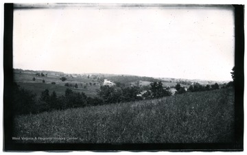
- A view of Antietam, Bloody Lane looking south east from the first corner near, likely to be, the Cupp house. 99.D.I.C.
- IDNO:
- 031609
- Title:
- View of Antietam, Md.
- Date:
- 1884/08/06
- Description:
- A view of Antietam from Benjamin's battery; the photo was taken about 12:45 p.m. 164 W (68).

- IDNO:
- 031612
- Title:
- View of Antietam
- Date:
- 1884/08/05
- Description:
- N.W view of Antietam National Cemetery from Hagerstown Pike. (157 93 D.I.C) included on back.

- IDNO:
- 031618
- Title:
- David Miller's Home on North Edge of Antietam
- Date:
- 1884/08/07
- Description:
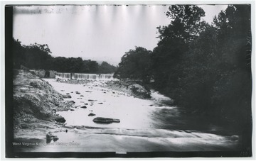
- (102.)I.C.173 written on back of photo.
- IDNO:
- 031622
- Title:
- Antietam Falls
- Date:
- 1884/08/05
- Description:
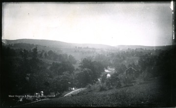
- 150.W.(64) on back of photo.
- IDNO:
- 031689
- Title:
- View of Antietam, Burnsides Stone Bridge, Maryland
- Date:
- 1884/08/06
- Description:
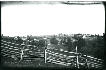
- A view of Antietam Burnsides stone bridge from the west side looking South East; the photo was taken Wednesday 9:10 am. 94 D. I. C., 155.
- IDNO:
- 031692
- Title:
- View on Confederate Side Near Burnside Bridge, Maryland
- Date:
- 1884/08/06
- Description:
- A view on Confederate side near Burnside Bridge; the photo taken at 9:20 am. 159 w65.
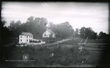
- IDNO:
- 031694
- Title:
- View of Antietam, Dunker Church, Maryland
- Date:
- 1884/08/06
- Description:
- A view of Antietam, Dunker Church looking from south east. The photo was taken on Wednesday at 7:30 pm. 100 D.I.C, 171.