Search Constraints
« Previous |
1 - 48 of 97
|
Next »
Search Results
IDNO:
014274
Title:
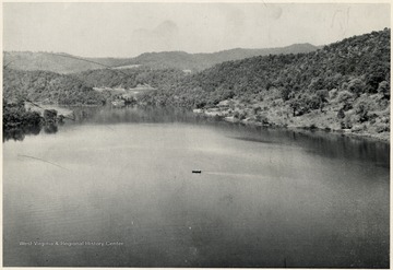
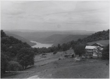
Bluestone Lake, Summers County, W. Va.
Description:
Bluestone River view from the Bluestone Bridge in Summers County.
IDNO:
014275
Title:
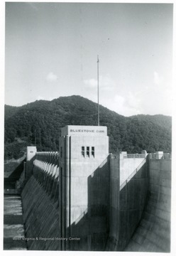
Bluestone Dam, Hinton, W. Va.
Description:
Distant view of the Bluestone dam in Summers County.
IDNO:
014276
Title:
Bluestone Dam, Hinton, W. Va.
Description:
Sideview of the Bluestone Dam in Summers County.
IDNO:
014278
Title:
Bluestone Dam Under Construction, Summers County, W. Va.
Description:
Bluestone Dam during the construction period in Summers County.
IDNO:
014633
Title:
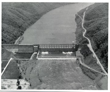
Bluestone Dam, Hinton, W. Va.
IDNO:
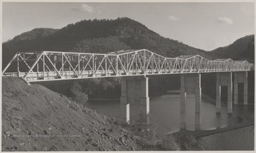
014634
Title:
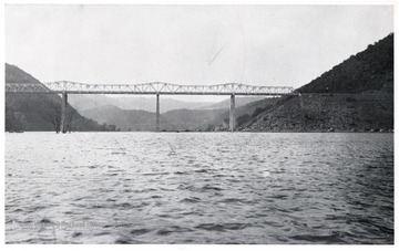
Bluestone Bridge, Summers County, W. Va.
Description:
'Bluestone Bridge spanning Bluestone River. It is said to be the highest bridge in the world of its type of construction.'
IDNO:
014665
Title:
Bluestone Dam, Hinton, W. Va.
IDNO:
014893
Title:
Bluestone Dam, Hinton, W. Va.
IDNO:
014894
Title:
Bluestone Dam, Hinton, W. Va.
IDNO:
014933
Title:
Bluestone Dam, Hinton, W. Va.
Description:
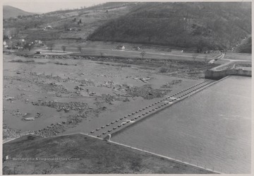
'This photo shows what would happen if the Bluestone River went dry.'
IDNO:
015288
Title:
Bluestone Dam, Hinton, W. Va.
IDNO:
017188
Title:
Bluestone Dam, Hinton, W. Va.
Date:
undated
IDNO:
017189
Title:
Bluestone Dam, Hinton, W. Va.
Date:
undated
IDNO:
047479
Title:
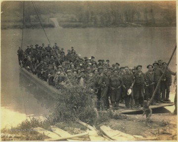
C.C.C. Workers on Ferry to Cross Bluestone Reservoir, Summers County, W. Va.
Date:
undated
Description:
A group of unidentified workers from the Civilian Conservation Corps pose on the ferry which was built to cross New River to save workers the hassle of having to drive to Hinton and cross the river at the old toll bridge. The ferry then took the men up the Bluestone River where "the clearing of right of way was started", according tot he photo caption.
IDNO:
048373
Title:
Two Men Sawing at Emma Meador Farm, Summers County, W. Va.
Date:
ca. 1920
Description:
Two unidentified men take each handle of a saw and cut through wood. The farm is located by the mouth of Bluestone River.
IDNO:
048374
Title:
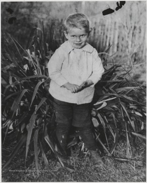
A Young Fred Meador Pictured by the Mouth of Bluestone River, Summers County, W. Va.
Date:
ca. 1925
Description:
Meador as a toddler stands by a large plant.
IDNO:
048376
Title:
Meador Brothers and Associate of Bluestone River Valley, W. Va.
Date:
ca. 1920
Description:
Foy and Luther Meador, left and center, are pictured with friend Johnny Cooper, right. The boys are photographed near True, W. Va.
IDNO:
048378
Title:
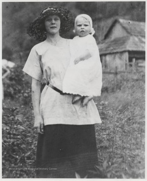
Lola Young with Baby in Bluestone River Valley, Summers County, W. Va.
Date:
ca. 1925
Description:
Young holds a child to one side. The two are pictured in a field.
IDNO:
048381
Title:
Bluestone Dam Under Construction, Summers County, W. Va.
Date:
ca. 1948
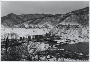
Description:
Looking at the construction site on the Bluestone River from the hillside.
IDNO:
048382
Title:
Bluestone River Dam Construction Site, Summers County, W. Va.
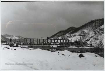
Date:
ca. 1948
Description:
Looking at the snow-covered site from across the river.
IDNO:
048383
Title:
Bluestone Dam Construction Site, Hinton, W. Va.
Date:
ca. 1948
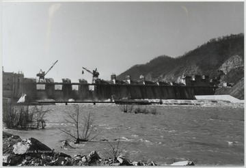
Description:
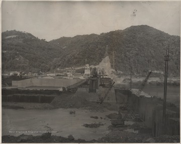
Cranes lift equipment as the construction is under way over the Bluestone River.
IDNO:
048384
Title:
Overlooking the Town of Bellepoint, W. Va.
Date:
ca. 1950
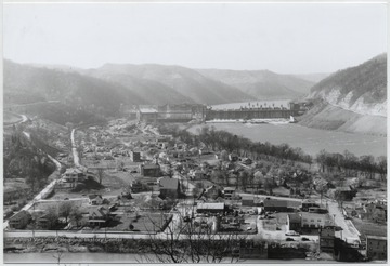
Description:
Aerial view of the town. Bluetone River and dam pictured to the right.
IDNO:
048385
Title:
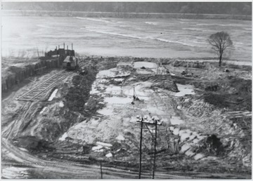
Beginning Construction of Bluestone Dam, Summers County, W. Va.
Date:
1936
Description:
Digging and preparing for the construction site of the dam over the Bluestone River.
IDNO:
048387
Title:
"Water Follies" Beneath Bluestone Dam, Summers County, W. Va.
Date:
ca. 1975
Description:
Photographed during the West Virginia Water Festival. A surge of water shoots up from the water.
IDNO:
048388
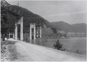
Title:
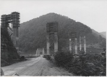
Bluestone High Bridge Under Construction at the Mouth of Bluestone River, Summers County, W. Va.
Date:
ca. 1950
Description:
Large supporting structures tower over a smaller bridge connecting a dirt road.
IDNO:
048389
Title:
Fishing by the Bluestone Dam, Summers County, W. Va.
Date:
ca. 1985
Description:
Unidentified people fish beside the dam which looks west.
IDNO:
048390
Title:
Construction of Bluestone Dam, Summers County, W. Va.
Date:
ca. 1950
Description:
Building the dam over the Bluestone River.
IDNO:
048392
Title:
View of Bluestone River Running through Dam, Summers County, W. Va.
Date:
ca. 1940
Description:
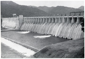
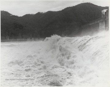
The waters flow through the Bluestone Dam.
IDNO:
048393
Title:
Spillway in front of Bluestone Dam, Summers County, W. Va.
Date:
ca. 1955
Description:
Rocks scatter across the shallow water way in front of the dam.
IDNO:
048395
Title:
Bluestone Dam Construction, Summers County, W. Va.
Date:
undated
Description:
Cranes are positioned at the bottom of the construction site. Houses can be seen in the background.
IDNO:
048397
Title:
Town of Bellepoint Overlooking Bluestone River Dam, Hinton, W. Va.
Date:
ca. 1955
Description:
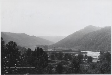
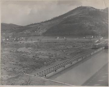
Houses and buildings are positioned along the shallow river drained by the dam.
IDNO:
048400
Title:
Couple Sitting by the Bluestone River Dam, Summers County, W. Va.
Date:
1985
Description:
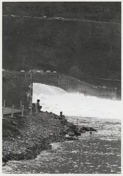
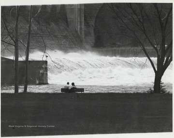
An unidentified couple sits on a bench observing the rushing waters and rapids surging through the dam.
IDNO:
048402
Title:
Rapids of Bluestone River Dam, Summers County, W. Va.
Date:
1985
Description:
Water from the Bluestone River comes surging through the dam structure.
IDNO:
048407
Title:
Bluestone Dam Construction Site at Night, Summers County, W. Va.
Date:
ca. 1950
Description:
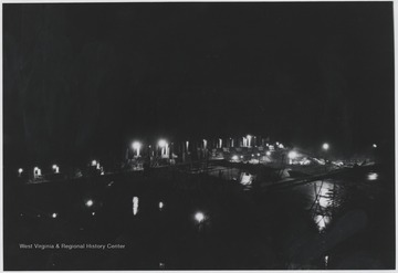
Lights scattered across the construction site illuminate the equipment and Bluestone River water below.
IDNO:
048409
Title:
Aerial View of Bellepoint, W. Va.
Date:
ca. 1950
Description:
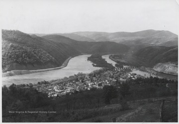
View overlooking the town and Bluestone River.
IDNO:
048417
Title:
View Overlooking Bluestone River and Dam Construction, Summers County, W. Va.
Date:
ca. 1940
Description:
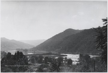
The river and dam construction seen in the distance.
IDNO:
048422
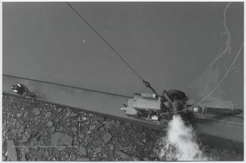
Title:
Bluestone Dam Pump, Summers county, W. Va.
Date:
ca. 1979
Description:
An unidentified man sits along the beam supporting the pump.
IDNO:
048425
Title:
Lilly Bridge Over Bluestone River, Summers County, W. Va.
Date:
ca. 1952
Description:
The bridge was formerly known as "Bluestone High Bridge" before its name was changed to what it is today. The structure stands tall over the river.
IDNO:
048426
Title:
Bluestone High Bridge in Distance Spanning Mouth of Bluestone River, Summers County, W. Va.
Date:
ca. 1950
Description:
The bridge's name was later changed to "Lilly Bridge".
IDNO:
048427
Title:
Bluestone High Bridge After Falling, Summers County, W. Va.
Date:
ca. 1950
Description:
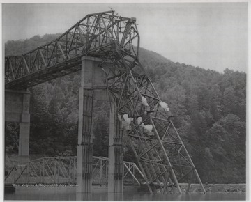
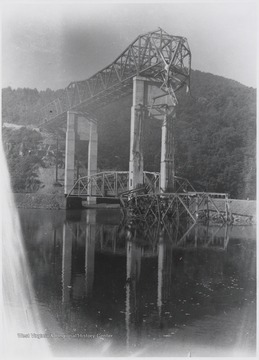
Parts of the bridge are pictured in the Bluestone River waters below.
IDNO:
048428
Title:
Bluestone Bridge Under Construction at Mouth of Bluestone River, Summers County, W. Va.
Date:
undated
Description:
The tall support structure is covered by construction beams.
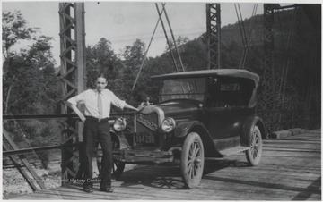
IDNO:
048430
Title:
Man and Automobile on First Bluestone Bridge, True, W. Va.
Date:
ca. 1920
Description:
The unidentified man poses beside a car on top of the newly completed bridge over the mouth of the Bluestone River.
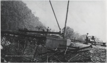
IDNO:
048431
Title:
First Bluestone Bridge Under Construction, True, W. Va.
Date:
ca. 1920
Description:
A group of unidentified men stand beside the construction equipment at the site of the bridge to go over the mouth of the Bluestone River.
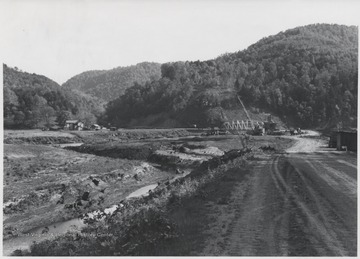
IDNO:
048432
Title:
Construction Site of First Bluestone Bridge at Mouth of Bluestone River, Summers County, w. Va.
Date:
undated
Description:
A crane and other construction equipment surrounds the construction site. The bridge looks at Larkin Meador farm, pictured to the left, and up Pipestem Creek.
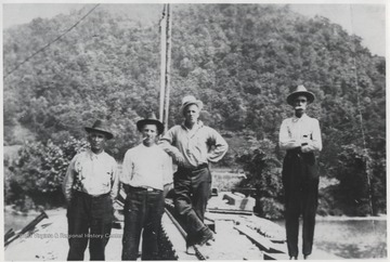
IDNO:
048433
Title:
Group of Men On Top of First Bluestone Bridge Construction, Summers County, W. Va.
Date:
ca. 1920
Description:
The unidentified men stand at the site located above the mouth of the Bluestone River.
IDNO:
048434
Title:
Low Bridge Over Mouth of Bluestone River, Summers County, W. Va.
Date:
ca. 1948
Description:
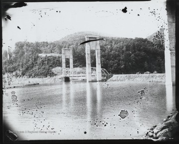
A small bridge is towered over by support beams that will hold the new Bluestone High Bridge.
IDNO:
048435
Title:
Bluestone Bridge Collapse, Summers County, W. Va.
Date:
ca. 1949
Description:
Burning steel girders cut into so that it can be removed from the mouth of the Bluestone River.
IDNO:
048436
Title:
Bluestone High Bridge When Span Fell, Summers County, W. Va.
Date:
ca. 1950
Description:
Part of the bridge fell during its construction in 1948. Steel pieces sit in the mouth of the Bluestone River.
