Search Constraints
« Previous |
1 - 48 of 140
|
Next »
Search Results
IDNO:
014574
Title:
Directors of First National Bank, Hinton, Summers County, W. Va.
Date:
ca. 1950
IDNO:
045573
Title:
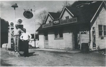
Angell's Service Station, Hinton, W. Va.
Date:
ca. 1950
Description:
From left to right: Zina, Earl and son Bernard B. Angell pose in front of the station located at the mouth of Beech Run.
IDNO:
045574
Title:
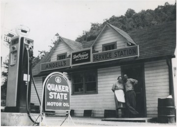
Angell's Service Station, Hinton, W. Va.
Date:
ca. 1950
Description:
Selling Keystone Gas, Earl & Minnie Angell pose in front of the store located at the mouth of Beech Run.
IDNO:
045641
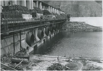
Title:
Bluestone Dam Under Construction, Hinton, W. Va.
Date:
ca. 1950
IDNO:
045646
Title:
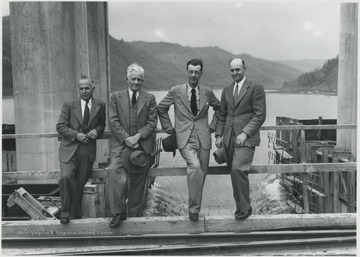
Engineers of the Bluestone Dam, Hinton, W. Va.
Date:
ca. 1950
Description:
From left to right, Orval Charles, the engineer in charge, Henry Auhl, Robert A. Thompson, the assistant engineer, and unidentified pose by the construction site.
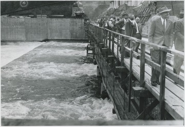
IDNO:
045647
Title:
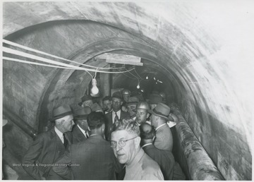
Bluestone Dam Construction, Hinton, W. Va.
Date:
ca. 1950
Description:
A group of men crowd inside the dam's construction site. Subjects unidentified.
IDNO:
045964
Title:
Bellepoint, W. Va.
Date:
ca. 1950
Description:
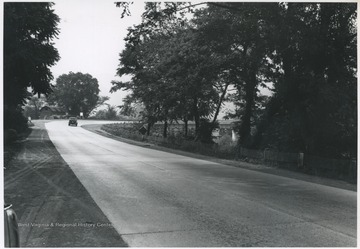
An automobile drives toward the concrete bridge that crosses the mouth of the Greenbrier River and the Railroad bridge that transported material for the Bluestone Dam construction.
IDNO:
046031
Title:
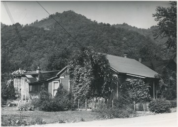
Keller Home, Bellepoint, W. Va.
Date:
ca. 1950
Description:
View of the home from across the street. Located near Hinton, W. Va.
IDNO:
047736
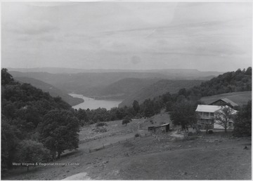
Title:
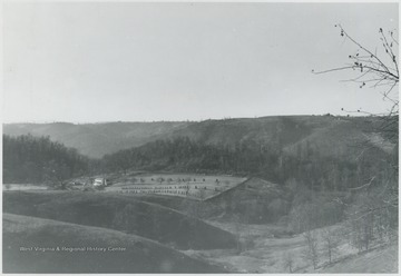
Forest Hill District, Summers County, W. Va.
Date:
ca. 1950
Description:
View over the hills of the district. A house and what appears to be a farm are pictured in the center.
IDNO:
047737
Title:
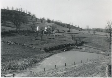
The Hills of Forest Hill District, Summers County, W. Va.
Date:
ca. 1950
Description:
Looking over the hills and what appears to be a farm.
IDNO:
047835
Title:
Clyde Dillon Farm, Forest Hill District, W. Va.
Date:
ca. 1950
Description:
Looking at the farm and the hills that surround it.
IDNO:
047990
Title:
View of Greenbrier River from Willowood Bridge, Summers County, W. Va.
Date:
ca. 1950
Description:
Hills pictured in the background to create this picturesque view. Willowood County Club is located to the right of the photo.
IDNO:
047991
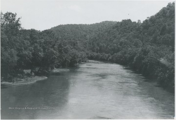
Title:
Looking Up Greenbrier River from Willowood Bridge, Summers County, W. Va.
Date:
ca. 1950
Description:
View of the river cutting through a crowded forest.
IDNO:
048210
Title:
Bluestone Baptist Church, Summers County, W. Va.
Date:
ca. 1950
Description:
First built in 1910 and burned down in 1913. Since this picture, the church has covered the exterior with brick and decorated the interior with paneling with new pews and wall-to-wall carpet. Sunday School rooms have also been added, including a fellowship room, a kitchen, and more ground for parking cars.
IDNO:
048211
Title:
Jumping Branch Community, Summers County, W. Va.
Date:
ca. 1950
Description:
View overlooking the area from White Oak Mountain.
IDNO:
048313
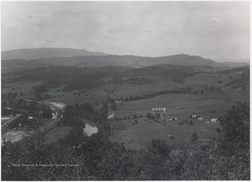
Title:
Greenbrier River Valley near Lowell, W. Va.
Date:
ca. 1950
Description:
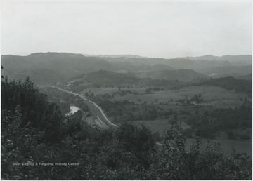
Mountains and hills are pictured in the distance. Small farms scatter across the valley.
IDNO:
048384
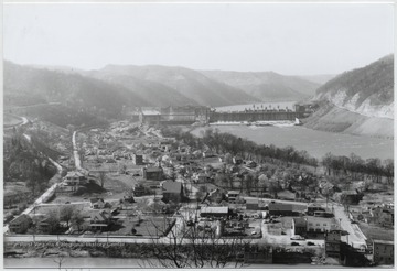
Title:
Overlooking the Town of Bellepoint, W. Va.
Date:
ca. 1950
Description:
Aerial view of the town. Bluetone River and dam pictured to the right.
IDNO:
048426
Title:
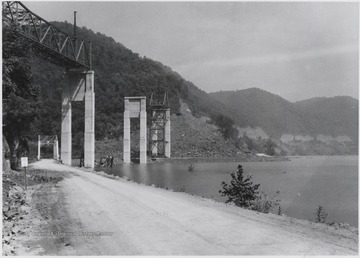
Bluestone High Bridge in Distance Spanning Mouth of Bluestone River, Summers County, W. Va.
Date:
ca. 1950
Description:
The bridge's name was later changed to "Lilly Bridge".
IDNO:
048427
Title:
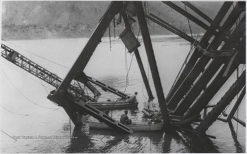
Bluestone High Bridge After Falling, Summers County, W. Va.
Date:
ca. 1950
Description:
Parts of the bridge are pictured in the Bluestone River waters below.
IDNO:
048441
Title:
Site of Bluestone Bridge Collapse at Mouth of Bluestone River, Summers County, W. Va.
Date:
ca. 1950
Description:
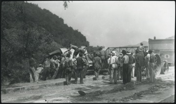
Five workmen killed and four injured when the 300-ton span buckled and folded downward into the river. A week after the collapse the men began dismantling the twisted span, using a never before used technique by burning the steel beams with chemicals.
IDNO:
048440
Title:
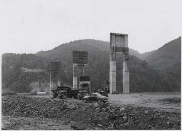
Bluestone High Bridge Construction at Mouth of Bluestone River, Summers County, W. Va.
Date:
ca. 1950
Description:
Large trucks sit below the construction. The support beams for the new bridge tower over the automobiles.
IDNO:
048446
Title:
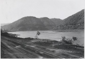
New River Road Running Alongside Bluestone Reservoir, Summers County, W. Va.
Date:
ca. 1950
Description:
Looking at the lake from the dirt road.
IDNO:
048553
Title:
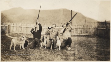
Young Men with Guns on Meador Farm near Mouth of Bluestone River, Summers County, W. Va.
Date:
ca. 1950
Description:
James David Neely (left), Luther L. Meador (center), and C. Brade Neely (right) holding guns, perhaps used for hunting, and sitting with their dogs. Meador sips from a bottle in the middle.The farm is now known as Meador Camp Ground at Bluestone State Park.
IDNO:
048816
Title:
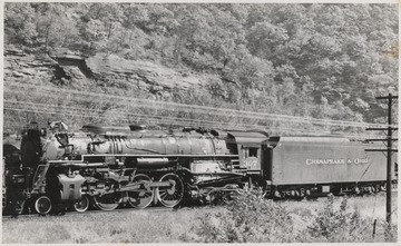
C. & O. Train in Avis Yards, Hinton, W. Va.
Date:
ca. 1950
Description:
Engine No. 307 pictured pulling "Chesapeake & Ohio" cars.
IDNO:
048976
Title:
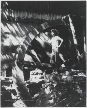
Leona "Lee" Wills at Cooper's Mill, Summers County, W. Va.
Date:
ca. 1950
Description:
Daughter of then owner Owen Wills stands next to the water wheel.
IDNO:
049318
Title:
Central School Basketball Team Portrait, Hinton, W. Va.
Date:
ca. 1950
Description:
A group of unidentified boys pose in their team uniforms.
IDNO:
049319
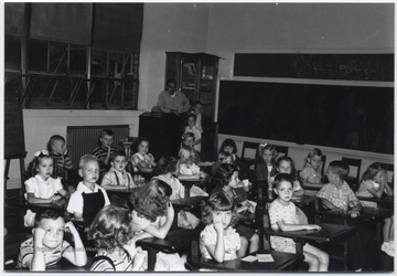
Title:
Central School Classroom, Hinton, W. Va.
Date:
ca. 1950
Description:
School children sit in their desks. Subjects unidentified.
IDNO:
049399
Title:
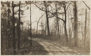
A Dirt Road in Summers County, W. Va.
Date:
ca. 1950
Description:
An unidentified road winds through a bare forest.
IDNO:
049528
Title:
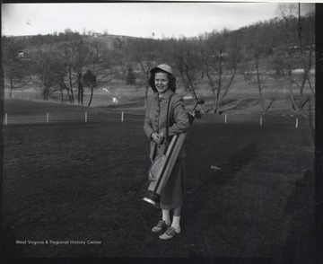
Female Golfer at Willowood Country Club, Summers County, W. Va.
Date:
ca. 1950
Description:
An unidentified woman is pictured with golf gear on the green.
IDNO:
049652
Title:
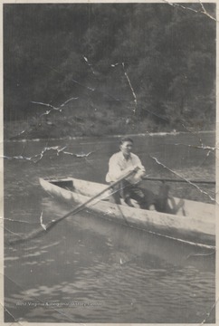
Johnny Smith Rowing Across New River, Summers County, W. Va.
Date:
ca. 1950
Description:
Smith rows the canoe across the water.
IDNO:
049921
Title:
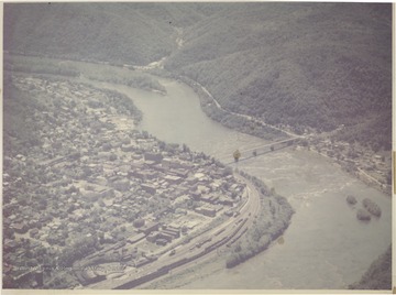
Aerial View Looking Southwest over Hinton, W. Va.
Date:
ca. 1950
Description:
View overlooking New River and the city of Hinton.
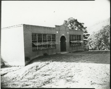
IDNO:
050066
Title:
Meadow Creek School Building, Summers County, W. Va.
Date:
ca. 1950
Description:
Side view of the school entrance, where the windows are partially open.
IDNO:
045500
Title:
Barger Springs, W. Va.
Date:
ca. 1950
IDNO:
045639
Title:
Bluestone Dam Construction Site near Hinton, W. Va.
Date:
ca. 1950
Description:
View of the construction from mid-level. Unidentified workers can be seen in the distance.
IDNO:
045638
Title:
Bluestone Dam Construction Site near Hinton, W. Va.
Date:
ca. 1950
IDNO:
045645
Title:
Bluestone Dam, Hinton, W. Va.
Date:
ca. 1950
Description:
Unidentified men walk along the construction site.
IDNO:
045830
Title:
Deeds Family, Avis, W. Va.
Date:
ca. 1950
Description:
Dewey Deeds pictured with his children and his mother.
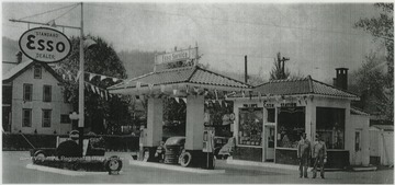
IDNO:
045832
Title:
Esso Station, Hinton, W. Va.
Date:
ca. 1950
Description:
View from across the lot. Two workers pose in front of the shop.
IDNO:
045910
Title:
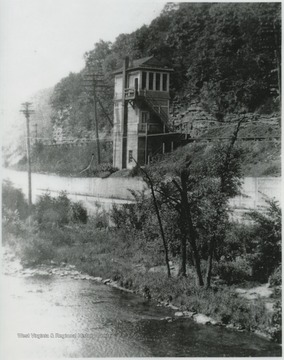
MX Cabin in Avis Yard, Hinton, W. Va.
Date:
ca. 1950
Description:
Photo taken north from Foss Bridge near Bellepoint. The cabin served as a telegraph office.
IDNO:
045997
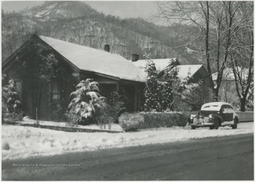
Title:
112 Greenbrier Drive, Hinton, W. Va.
Date:
ca. 1950
Description:
View of the home from across the streets in the Bellepoint section of town.
IDNO:
046001
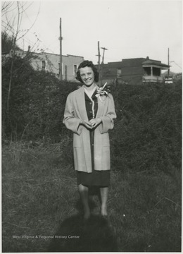
Title:
Helen Helms, Hinton, W. Va.
Date:
ca. 1950
Description:
Helms pictured at 112 Greenbrier Drive in the Bellepoint section of town.
IDNO:
046011
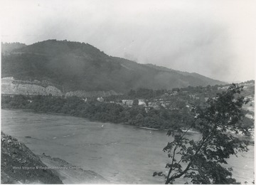
Title:
Bellepoint, W. Va.
Date:
ca. 1950
Description:
View from across the river near Hinton, W. Va.
IDNO:
046015
Title:
Paving Greenbrier Drive in Bellepoint, W. Va.
Date:
ca. 1950
Description:
A group of workers paving Route 3 in front of the photographer's home between New Bridge and Foss Bridge near Hinton, W. Va.
IDNO:
046014
Title:
Bellepoint, W. Va.
Date:
ca. 1950
Description:
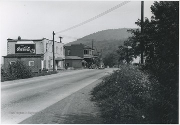
Stores beside the street sit at the old sight of the Foss Bridge entrance near Hinton, W. Va.
IDNO:
046035
Title:
Methodist Church, Bellepoint, W. Va.
Date:
ca. 1950
Description:
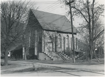
View of the church from across the street near Hinton, W. Va.
IDNO:
047875
Title:
Aerial View of Forest Hill District, Summers County, W. Va.
Date:
ca. 1950
Description:
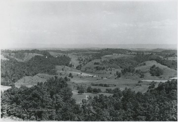
Overlooking the district. Patches of forest sprout across the hills.
IDNO:
047988
Title:
Greenbrier River Valley, Talcott, W. Va.
Date:
ca. 1950
Description:
Overlooking the valley from a mountaintop view. The river was named by Col. John Lewis in 1751. It flows from Randolph County, through Pocahontas and Monroe counties, and into New River near Hinton, W. Va.
IDNO:
047989
Title:
Greenbrier River at Site of Willow Bridge, Summers County, W. Va.
Date:
ca. 1950
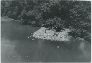
Description:
Looking down from the bridge at a group of unidentified boys. Just below the bridge is the entry of Howards Creek into Greenbrier River.

