Search Constraints
« Previous |
1 - 12 of 21
|
Next »
Search Results
- IDNO:
- 013315
- Title:
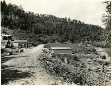
- Gas Station on a County Road Leading into Breeden, Mingo County, W. Va.
- Date:
- 1932/08/26
- Description:
- Camera in improved county road, looking northwest, opposite MP-506, about 1 1/4 miles east of Breeden, W. Va.
- IDNO:
- 013316
- Title:
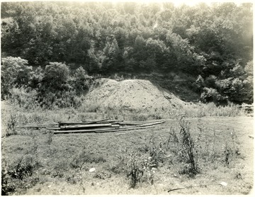
- Abandoned Coal Operation, Mingo County, W. Va.
- Date:
- 1932/08/26
- Description:
- Abandoned coal operation on the west side of the highway and railroad, at Kirk, W. Va. looking west.
- IDNO:
- 013317
- Title:
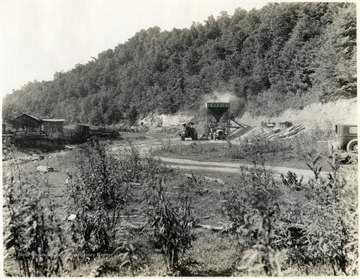
- Stone Quarry and Heltzel Stone Crusher, Mingo County, W. Va.
- Date:
- 1932/08/26
- Description:
- Stone quarry and crusher operated by County Road Department in Mingo County, W. Va. MP-500 + 700-ft., about 1 1/2 miles west of Dingess, W. Va.
- IDNO:
- 013318
- Title:
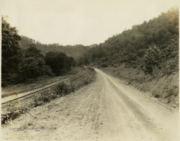
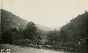
- Road and Railroad Tracks Leading into Lenore, Mingo County, W. Va.
- Date:
- 1932/08/26
- Description:
- 'One half mile west of Lenore, W. Va. looking south, August 26. 1932.'
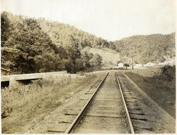
- IDNO:
- 013319
- Title:
- Store and Post Office, Hale W. Va.
- Date:
- 1932/09/22
- IDNO:
- 013320
- Title:
- Railroad Tracks at Canterbury, W. Va.
- Date:
- 1932/09/15
- Description:
- Canterbury, W. Va. looking west.
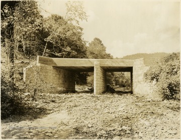
- IDNO:
- 013321
- Title:
- Highway Bridge near Canterbury, Mingo County, W. Va.
- Date:
- 1932/09/15
- Description:
- Highway bridge near Canterbury, W. Va. on the improved highway between Naugatuck, W. Va. and Breeden, W. Va.

- IDNO:
- 013322
- Title:
- Railroad Tracks at Hale, W. Va., Looking East
- Date:
- 1932/09/15

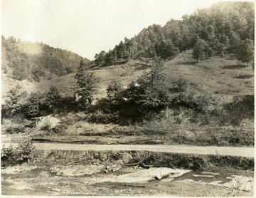
- IDNO:
- 013323
- Title:
- Railroad Tracks Leading into Dingess, W. Va., Looking East
- Date:
- 1932/09/15
- IDNO:
- 013324
- Title:
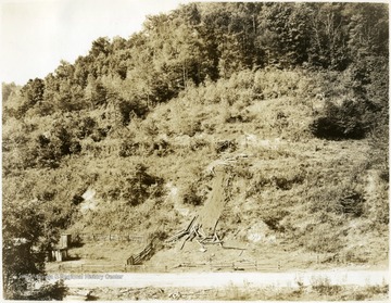
- Abandoned Coal Operation, Mingo County, W. Va.
- Date:
- 1932/09/16
- Description:
- Abandoned coal operation on Twelve Pole Creek 0.6 mile above Dingess Station. Formerly known as the 'Haggerty Mine'.
- IDNO:
- 013325
- Title:
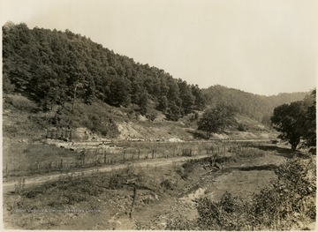
- Abandoned Coal Operation, Mingo County, W. Va.
- Date:
- 1932/09/16
- Description:
- Abandoned coal operation along Twelve Pole Creek 1.6 mile above Dingess Station. Formerly known as the 'Freeport Mine'.
- IDNO:
- 013326
- Title:
- Abandoned Coal Operation, Mingo County, W. Va.
- Date:
- 1932/09/16
- Description:
- Coal operation and industrial development opposite the west end of passing track, Dingess, W. Va. formerly the Pearl Mining Company.


