Search Constraints
« Previous |
1 - 24 of 82
|
Next »
Search Results
IDNO:
012873
Title:
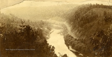
Rebel's View, Greenbrier County, W. Va..
Date:
undated
Description:
Rebel's View, looking East up the Chesapeake and Ohio Railroad and the Greenbrier River. Above the Iron C and O Railroad bridge.
IDNO:
051585
Title:
Mother and Child Swimming at Barger Springs, Summers County, W. Va.
Date:
undated
Description:
A young woman holds her son up in the water. Barger Springs, also known as Greenbrier Springs, is located along the Greenbrier River.
IDNO:
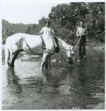
051584
Title:
Two Men Lead a Horse through Barger Springs, Summers County, W. Va.
Date:
undated
Description:
The two unidentified men walk a horse through what is also known as Greenbrier Springs. The springs are located along the Greenbrier River.
IDNO:
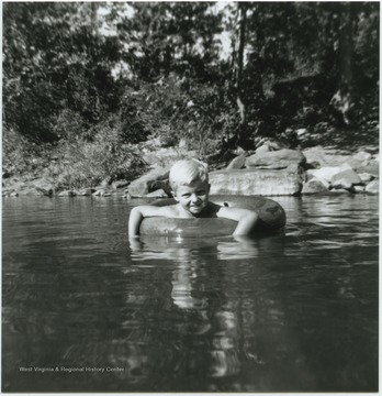
051583
Title:
Boy Swimming in Barger Springs, Summers County, W. Va.
Date:
undated
Description:
A young, unidentified boy floats in a tube in what is also known as Greenbrier Springs. The springs are located along the Greenbrier River.
IDNO:
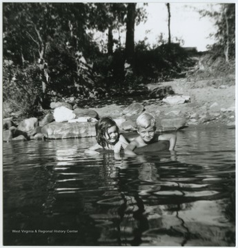
051586
Title:
Children Swimming in Barger Springs, Summers County, W. Va.
Date:
undated
Description:
A boy and girl share an inner tube while floating in the waters, also known as Greenbrier Springs, which is located off of the Greenbrier River. Subjects unidentified.
IDNO:
047992
Title:
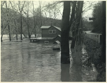
Tavern Flooded by Greenbrier River Flood, Summers County, W. Va.
Date:
undated
Description:
Old Kozy Cove, an establish beer joint, is pictured mostly submerged in flood waters. To the right is Route 3.
IDNO:
049396
Title:
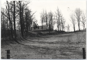
River View Presbyterian Church on Greenbrier River, Summers County, W. Va.
Date:
undated
Description:
The church, pictured in the distance between leafless trees, overlooks Riffes Bottom.
IDNO:
053419
Title:
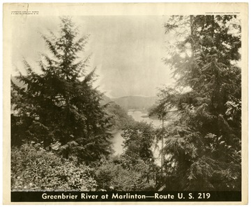
Greenbrier River at Marlinton, Route U. S. 219
Date:
undated
Description:
A bird's eye view looking down over the Greenbrier River toward Marlinton, W. Va.
IDNO:
053420
Title:
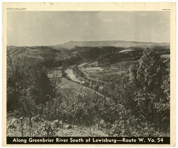
Along Greenbrier River South of Lewisburg, Route W. Va. 54
Date:
undated
Description:
A bird's eye view of the Greenbrier River in Greenbrier County, W. Va.
IDNO:
047983
Title:
National Guard Truck Caught in Greenbrier River Flood, Summers County, W. Va.
Date:
ca. 1985
Description:
Flood waters surge toward the truck as it attempts to make its way across the road.
IDNO:
047985
Title:
Greenbrier River Flood Damage, Summers County, W. Va.
Date:
ca. 1985
Description:
A house in the background is tilted on its side. Tree tops can be seen sticking out of the water.
IDNO:
047984
Title:
Greenbrier River Flood, Summers County, W. Va.
Date:
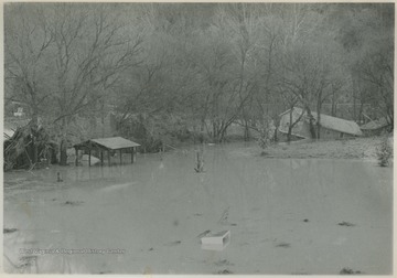
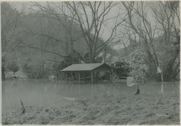
ca. 1985
Description:
High rising waters cut through wooden structures. Perhaps at one point this was a shed.
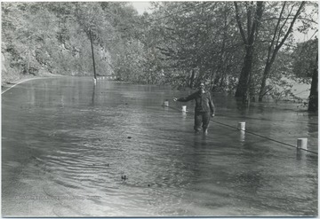
IDNO:
048040
Title:
Woman Attempts to Hitchhike in Greenbrier River Flood Waters, Summers County, W. Va.
Date:
ca. 1976
Description:
An unidentified woman standing in knee-high water with her pants rolled up holds her hand out with her thumb up as if signaling for a ride.
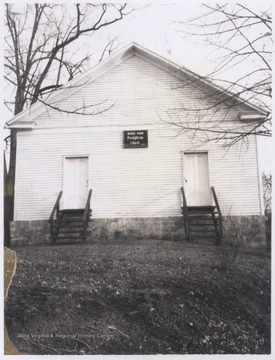
IDNO:
049397
Title:
River View Freedom Presbyterian Church, Summers County, W. Va.
Date:
ca. 1960
Description:
View of the church entrance. The building overlooks Riffes Bottom along the Greenbrier River.
IDNO:
047990
Title:
View of Greenbrier River from Willowood Bridge, Summers County, W. Va.
Date:
ca. 1950
Description:
Hills pictured in the background to create this picturesque view. Willowood County Club is located to the right of the photo.
IDNO:
047991
Title:
Looking Up Greenbrier River from Willowood Bridge, Summers County, W. Va.
Date:
ca. 1950
Description:
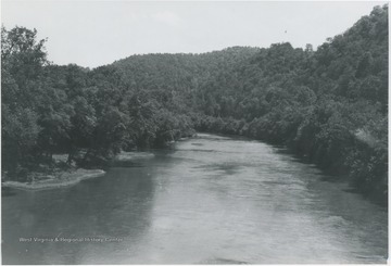
View of the river cutting through a crowded forest.
IDNO:
047988
Title:
Greenbrier River Valley, Talcott, W. Va.
Date:
ca. 1950
Description:
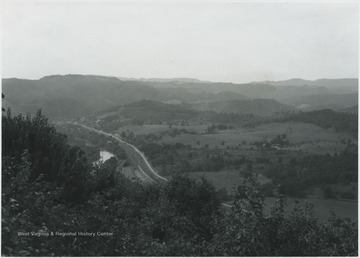
Overlooking the valley from a mountaintop view. The river was named by Col. John Lewis in 1751. It flows from Randolph County, through Pocahontas and Monroe counties, and into New River near Hinton, W. Va.
IDNO:
047989
Title:
Greenbrier River at Site of Willow Bridge, Summers County, W. Va.
Date:
ca. 1950
Description:
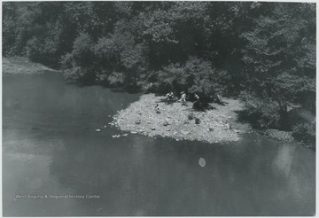
Looking down from the bridge at a group of unidentified boys. Just below the bridge is the entry of Howards Creek into Greenbrier River.
IDNO:
048317
Title:
View of the Greenbrier River Winding Through Greenbrier River Valley near Lowell, W. Va.
Date:
ca. 1950
IDNO:
048091
Title:
Overlooking the Greenbrier River, Lowell, W. Va.
Date:
ca. 1940
Description:
Aerial photograph looks over the river and banks. There appears to be a bridge being constructed parallel to the railroad bridge already in place.
IDNO:
047987
Title:
A Couple Standing Next to Greenbrier River, Summers County, W. Va.
Date:
ca. 1936
Description:
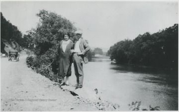
The two unidentified persons pose beside the river on what is now Route 3 below Alderson, W. Va.
IDNO:
004897
Title:
Bridge Over Greenbrier River, Alderson, W. Va.
Date:
ca. 1930
IDNO:
048089
Title:
Mouth of Griffith Creek from Greenbrier River, Summers County, W. Va.
Date:
ca. 1930
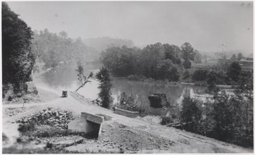
Description:
A lone automobile travels on the dirt road that runs alongside the river. The Piers are from a Glen Ray Lumber Company construction site where a railroad bridge is in the process of being built.
IDNO:
047910
Title:
Mouth of Griffith Creek near Greenbrier River, Summers County, W. Va.
Date:
ca. 1930
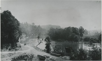
Description:
Piers of Glen Ray Lumber Co. emerging to create Railroad Bridge.
