Search Constraints
« Previous |
1 - 48 of 82
|
Next »
Search Results
IDNO:
028257
Title:
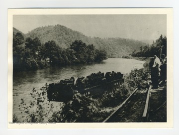
Horse and Buggy at Greenbrier Ford
Date:
1884/07/17
Description:
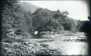
A photograph of a river with a horse and carriage on the left. '54 D(30); Thur. July 17, 1884 8 am'
IDNO:
004922
Title:
Old Steel Bridge, Looking East along Greenbrier River, Alderson, W. Va.
Date:
1907
Description:
Tree lined shore of the Greenbrier River. Steel Bridge in the background.
IDNO:
048977
Title:
Bacon's Grist Mill, Talcott, W. Va.
Date:
1920
Description:
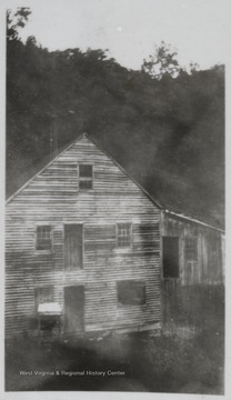
Looking at the mill which was located on the Greenbrier River.
IDNO:
026369
Title:
New River Near Greenbrier River in West Virginia
Date:
1932
Description:
'Looking up Greenbrier River about half a mile above mouth. Chesapeake and Ohio Railroad at left.'
IDNO:
026368
Title:
New River Near Greenbrier River, W. Va.
Date:
1932
Description:
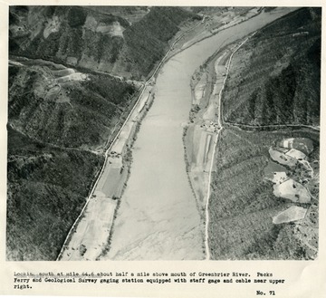
'Looking south at mile 64.6 about half a mile above mouth of Greenbrier River. Packs Ferry and Geological Survey gaging station equipped with staff gage and cable near upper right.'
IDNO:
026370
Title:
New River Near Hinton, West Virginia
Date:
1932
Description:
'Mouth of Greenbrier River and upper portion of Hinton, West Virginia. Looking southeast toward sun.'
IDNO:
025751
Title:
Derailment Car Along Greenbrier River, W.Va.
Date:
1942
IDNO:
025752
Title:
Derailment Along the Greenbrier River, W.Va.
Date:
1942
IDNO:
048008
Title:
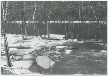
Partially Frozen Greenbrier River, Bellepoint, W. Va.
Date:
1976/03
Description:
Ice blocks and snow cover the river banks.
IDNO:
047999
Title:
Cars on Route 3 Battle the Flood Waters from the Greenbrier River, Summers County, W. Va.
Date:
1976/10
Description:
Two cars are seen splashing through the waters of the gradually submerged road.
IDNO:
047998
Title:
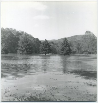
Treetops Sprout Out of the Water from the Greenbrier River Flood, Summers County, W. Va.
Date:
1976/10
Description:
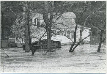
The high rising water from the river begins to submerge the lower halves of the trees.
IDNO:
048006
Title:
Car Submerged in Greenbrier River Flood Waters, Summers County, W. Va.
Date:
1976/10
Description:
A car is caught in the flood waters.
IDNO:
047996
Title:
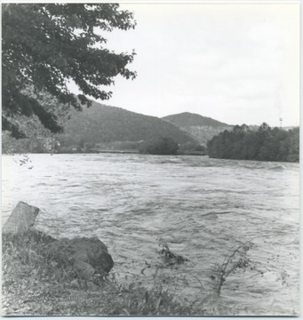
Greenbrier River Flood, Summers County, W. Va.
Date:
1976/10
Description:
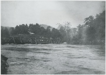
Looking of the high rising waters. In the background, the river nearly reaches the top of a bridge.
IDNO:
048004
Title:
Floodwater Creep Up on Willowoood County Club Property, Summers County, W. Va.
Date:
1976/10
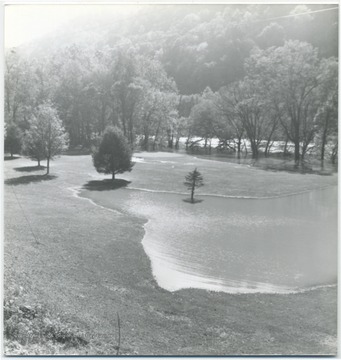
Description:
Waters from the Greenbrier River begin to take over the country club grounds.
IDNO:
048003
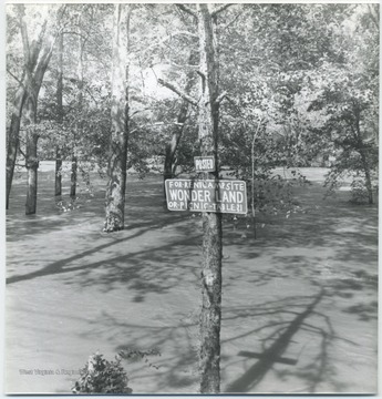
Title:
Camp Site Submerged by Greenbrier River Flood, Summers County, W. Va.
Date:
1976/10
Description:
A sign on the tree reads, "For Rent: Camp Site Wonder Land of Picnic Table, $1".
IDNO:
048001
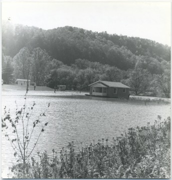
Title:
House Surrounded by Greenbrier River Flood, Summers County, W. Va.
Date:
1976/10
Description:
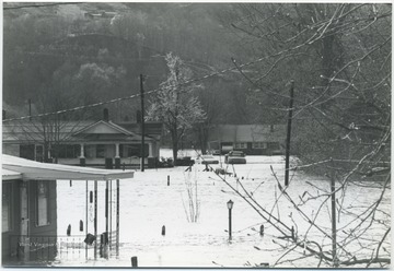
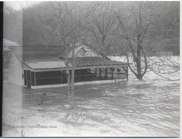
A house stands alone in the middle of the high rising waters. A person can be seen on the porch observing the situation.
IDNO:
048022
Title:
Greenbrier River Flood, Summers County, W. Va.
Date:
1977
Description:
The flood waters cut through the town, submerging trees, streets, and houses in its path. Three figures are pictured in a canoe on the left.
IDNO:
048041
Title:
Greenbrier River Gauge During a Flood, Summers County, W. Va.
Date:
1977
Description:
Gauge at the Willowood Bridge is pictured with water at the "23" mark, probably measuring in feet.
IDNO:
048013
Title:
Flood Waters Sweep Through Town in Summers County, W. Va.
Date:
1977
Description:
Waters from the Greenbrier River flood houses and cars in its path.
IDNO:
048021
Title:
Two People Canoe Through the Greenbrier River Flood Waters, Summers County, W. Va.
Date:
1977
Description:
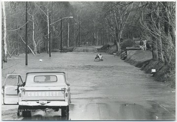
A Chevy truck is stopped in front of a submerged part of a road while two unidentified persons row toward it.
IDNO:
048036
Title:
Greenbrier River Flood Waters Cutting Through Alderson, W. Va.
Date:
1977
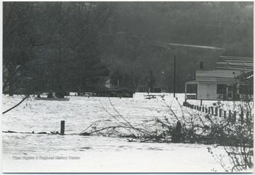
Description:
View of a submerged street with buildings on either side. Waters reached anExxon station to the right.
IDNO:
048010
Title:
Vacating Home Threatened by Greenbrier River Flood Waters, Summers County, W. Va.
Date:
1977
Description:
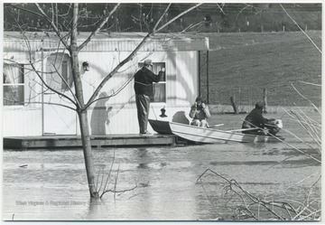
Two men assist a woman leaving her home after loading her on a small motorboat to travel to safety. Subjects unidentified.
IDNO:
048019
Title:
Willowood Country Club Flooded by Greenbrier River, Summers County, W. Va.
Date:
1977
Description:
Flood waters submerge the country club grounds and surround the club house.
IDNO:
048027
Title:
Greenbrier River Flood, Summers County, W. Va.
Date:
1977
Description:
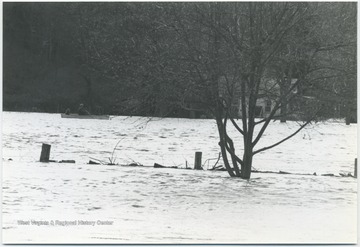
Three figured are pictured in the background canoeing on the flooded river. In the center of the picture is what appears to be a submerged wooden fence.
IDNO:
048034
Title:
Greenbrier River Flood Waters Approach a Home in Summers County, W. Va.
Date:
1977
Description:
A shed in the yard behind the house is submerged by the flood waters.
IDNO:
048043
Title:
House Surrounded by Greenbrier River Flood Waters, Summers County, W. Va.
Date:
1977
Description:
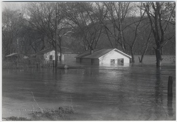
A house is surrounded by the flood waters on all sides.
IDNO:
048042
Title:
Houses Being Submerged by Greenbrier River Flood, Summers County, W. Va.
Date:
1977
Description:
Three houses are pictured mostly under water.
IDNO:
048016
Title:
Truck Attempts to Pass Flooded Road in Summers County, W. Va.
Date:
1977
Description:
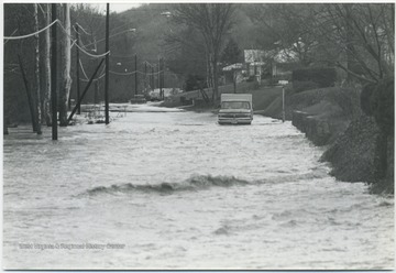
A truck makes its way through the road flooded by the Greenbrier River. Two cars are also seen in the background attempting the same journey.
IDNO:
048024
Title:
Aerial View of the Greenbrier River Flood, Summers County, W. Va.
Date:
1977
Description:
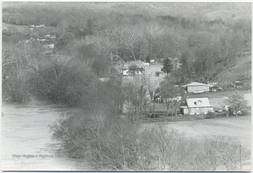
Looking over the area in which the flood waters have reached. Homes are close to being hit.
IDNO:
048032
Title:
Greenbrier River Flood Passing Through Alderson, W. Va.
Date:
1977
Description:
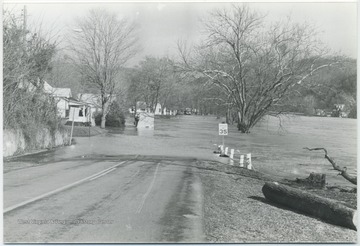
Flood waters creep up the roads in the town.
IDNO:
048038
Title:
Car Drives Through Flooded Road in Bellepoint, W. Va.
Date:
1977
Description:
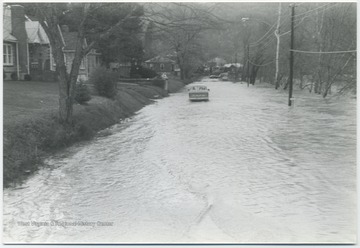
Flood waters from the Greenbrier River make driving difficult for the car pictured.
IDNO:
047638
Title:
Mouth of the Flooding Greenbier River in Summers or Greenbrier County, W. Va.
Date:
1985
Description:
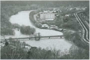
After a long dry summer, drizzling rains dominated the Potomac Highland region for days. By November 4, a severe storm wreaked havoc as the already dampened soils could no longer receive the excessive rains. The waters extended through Avis to Pence Springs near the Hinton, W. Va.Summers, Greenbrier, Mineral, Hampshire, Grant, Hardy, Pendleton, and Tucker counties were all affected by high water and flooding, as well.
IDNO:
012860
Title:
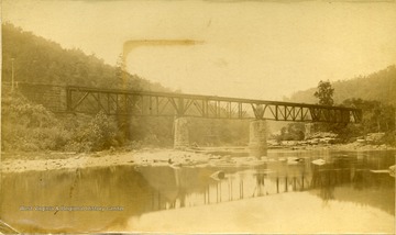
Iron Bridge at Whitcomb Depot, C. and O. Railroad on the Greenbrier River, Greenbrier County, W. Va.
Date:
ca. 1890-1910
Description:
View of the Iron Bridge at Whitcomb Depot, C. and O. Railroad on a low water area of the Greenbrier River in Greenbrier County.
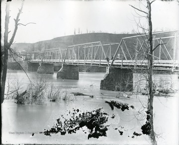
IDNO:
004927
Title:
Iron Bridge Looking South, Alderson, W. Va.
Date:
ca. 1895
Description:
Two men standing on old iron bridge looking south.
IDNO:
004954
Title:
River and Railroad Tracks East of Alderson, W. Va.
Date:
ca. 1895
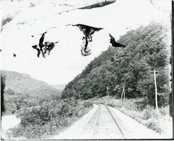
IDNO:
004903
Title:
Chesapeake and Ohio Single Track Main Line, East of Alderson, W. Va.
Date:
ca. 1896
Description:
'Looking East Along Greenbrier River.'
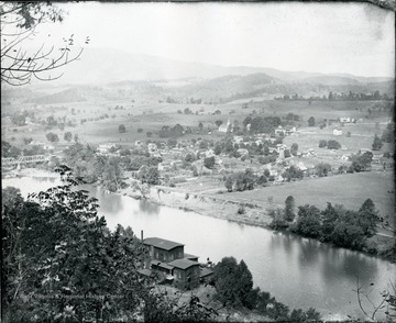
IDNO:
004953
Title:
North Alderson, W. Va.
Date:
ca. 1898
Description:
View of Alderson looking Northwest. Bright's Mill, lower center.
IDNO:
004917
Title:
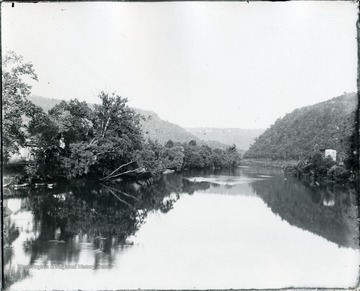
Greenbrier River from Bridge at Alderson, W. Va.
Date:
ca. 1900
Description:
Greenbrier River from Bridge at Alderson. House visible on the shore.
IDNO:
004926
Title:
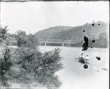
Iron Bridge over the Greenbrier River at Alderson, W. Va.
Date:
ca. 1900
Description:
Boaters in the foreground. Iron bridge over the Greenbrier River at Alderson. Bridge built in 1881.
IDNO:
048323
Title:
Rebuilding C. & O. Railroad Bridge Over Greenbrier River at Lowell, W. Va.
Date:
ca. 1900
Description:
Workers scatter across the construction site. Cranes helps lift supplies onto the bridge. A train is pictured on top of the bridge, perhaps bringing in additional supplies.
IDNO:
047911
Title:
Railroad Bridge near Alderson, W. Va.
Date:
ca. 1906
Description:
Glen Ray Lumber Co.'s construction site for the bridge on Greenbrier River.
IDNO:
004919
Title:
Looking East at Greenbrier River from Bridge at Alderson, W. Va.
Date:
ca. 1907
Description:
View of Greenbrier River from bridge at Alderson. Road visible in the distance.
IDNO:
001728
Title:
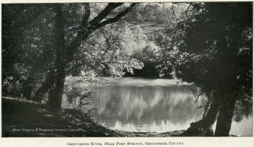
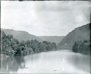
Greenbrier River, Near Fort Springs, Greenbrier County
Date:
ca. 1907
Description:
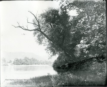
A river mirrors the distant bank full of leafy trees and a grassy hill.
IDNO:
004920
Title:
Looking East at Greenbrier River from Bridge at Alderson, W. Va.
Date:
ca. 1907
Description:
View of Greenbrier River from bridge at Alderson.
IDNO:
012627
Title:
View of Dock and Water-edge Tents at Camp Greenbrier, Greenbrier County, W. Va.
Date:
ca. 1910
IDNO:
004929
Title:
Looking Toward Keeney's Knob from Bridge at Alderson, W. Va.
Date:
ca. 1910
Description:
View of Keeney's Knob from a bridge at Alderson. Houses by the shore.
IDNO:
050767
Title:
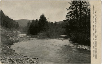
Spruce Island on the Greenbrier River near Durbin, W. Va.
Date:
ca. 1910-1930
Description:
This image is part of the Thompson Family of Canaan Valley Collection. The Thompson family played a large role in the timber industry of Tucker County during the 1800s, and later prospered in the region as farmers, business owners, and prominent members of the Canaan Valley community.
IDNO:
004900
Title:
Concrete Bridge Across Greenbrier River at Alderson, W. Va.
Date:
ca. 1915
