Search Results

- IDNO:
- 049364
- Title:
- Jumping Branch Community, Summers County, W. Va.
- Date:
- ca. 1900
- Description:
- Photograph originally used as a post card. View of the snow covered town.
- IDNO:
- 049428
- Title:
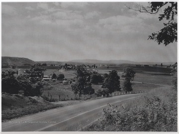
- Land Usage in Greenbrier River Valley, Summers County, W. Va.
- Date:
- ca. 1910
- Description:
- Pictured is an area two miles west of Lewisburg, W. Va. along U. S. Route 60. The view is looking northwest from Wilson Hill.
- IDNO:
- 049440
- Title:
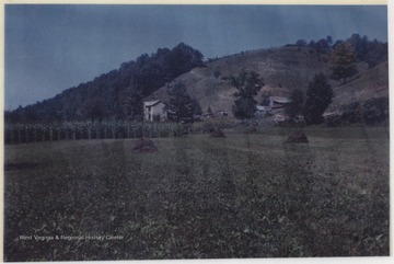
- Shumate Farm Grounds, Little Stony Creek, W. Va.
- Date:
- ca. 1965
- Description:
- View of the farm land and growing crops which is located near War Ridge.

- IDNO:
- 049449
- Title:
- Shumate Farm, Little Stony Creek, W. Va.
- Date:
- 1968
- Description:
- View from across the pond of the farmhouse and grounds near War Ridge.
- IDNO:
- 049475
- Title:
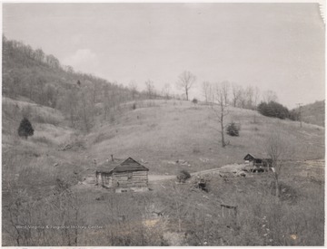
- View of Land Along Surveyor Branch, Summers County, W. Va.
- Date:
- ca. 1957
- Description:
- A log home sits beside a dirt path with a small shed.
- IDNO:
- 049486
- Title:
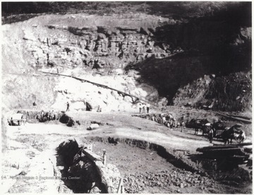
- View Overlooking Big Bend Tunnell Construction Site, Talcott, W. Va.
- Date:
- undated
- Description:
- A group of mean work along the site. Subjects unidentified.
- IDNO:
- 049500
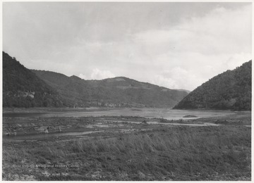
- Title:
- Bluestone Reservoir meets Mouth of Bluestone River, Sumers County, W. Va.
- Date:
- ca. 1930
- Description:
- View of the two converging bodies of water. Here is the future sight of the Bluestone High Bridge.
- IDNO:
- 049518
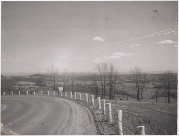
- Title:
- Looking East from White Oak Mountain, Summers County, W. Va.
- Date:
- ca. 1958
- Description:
- View looking over the hills and down the road from the mountain.
- IDNO:
- 049525
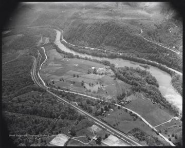
- Title:
- Aerial View of Willowood County Club, Summers County, W. Va.
- Date:
- ca. 1950
- Description:
- View overlooking the county club golf course.
- IDNO:
- 049527
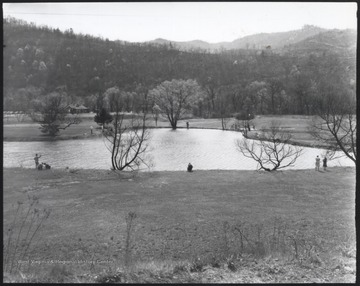
- Title:
- Lake at Willowood Country Club, Summers County, W. Va.
- Date:
- ca. 1950
- Description:
- Country club members pass time by the water.
- IDNO:
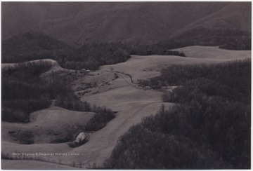
- 049590
- Title:
- Zion Mountain, Summers County, W. Va.
- Date:
- undated
- Description:
- View over what was used as a landing field by Jim Ballis.
- IDNO:
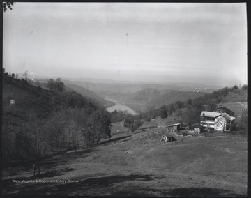
- 049591
- Title:
- Melvin Turner Farmstead on Zion Mountain, Summers County, W. Va.
- Date:
- 1958
- Description:
- Bluestone Reservoir and Bluestone Bridge pictured in the background. The farm house is pictured on the right.


