Search Results
- IDNO:
- 026354
- Title:
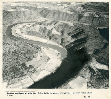
- New River Near Wylie Falls, Va.
- Date:
- 1932
- Description:
- 'Looking southeast at mile 88. Wylie Falls in middle foreground; picture taken about 5 p.m.'
- IDNO:
- 026355
- Title:
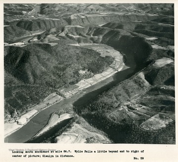
- New River Near Wylie Falls, Va.
- Date:
- 1932
- Description:
- 'Looking south southeast at mile 86.7. Wylie Falls a little beyond and to right of center of picture; Glenlyn in distance.'

- IDNO:
- 026356
- Title:
- New River
- Date:
- 1932
- Description:
- 'Looking east southeast at mile 84.8.'
- IDNO:
- 026357
- Title:
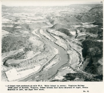
- New River Near Narrows, Virginia
- Date:
- 1932
- Description:
- 'A longer view southeast at mile 83.2. Wylie Island in center; Virginian Railway steam plant at Narrows, Virginia, framed between East River Mountain at right, Peters Mountain at left, and Angel Rest above.'
- IDNO:
- 026358
- Title:
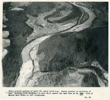
- New River Near Mercer Salt Works, W. Va.
- Date:
- 1932
- Description:
- 'First picture morning of April 28, about 11:30 a.m. Camera pointed in direction of sun. Looking south southeast at mile 82.2; almost the same view as no. 62A. Site of Mercer Salt Works in left foreground.'
- IDNO:
- 026359
- Title:
- New River Near Mercer Salt Works, West Virginia
- Date:
- 1932
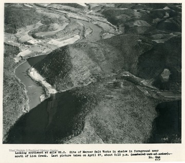
- Description:
- 'Looking southeast at mile 83.0. Site of Mercer Salt Works in shadow in foreground near mouth of Lick Creek. Last picture taken on April 27, about 5:15 p.m.'
- IDNO:
- 026360
- Title:
- New River
- Date:
- 1932
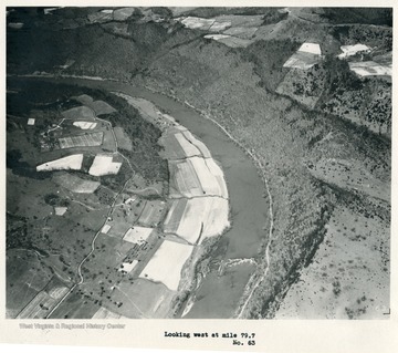
- Description:
- 'Looking west at mile 79.7.'
- IDNO:
- 026361
- Title:
- New River Near Junta, W. Va.
- Date:
- 1932
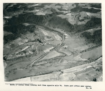
- Description:
- 'Mouth of Indian Creek looking east from opposite mile 78. Junta post office near center.'
- IDNO:
- 026362
- Title:
- New River at Indian Creek in West Virginia
- Date:
- 1932
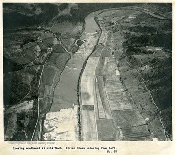
- Description:
- 'Looking southeast at mile 76.8. Indian Creek entering from left.'
- IDNO:
- 026363
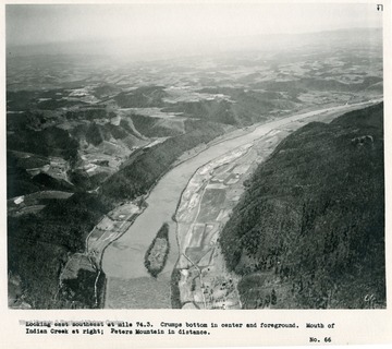
- Title:
- New River Near Crumps Bottom, W. Va.
- Date:
- 1932
- Description:
- 'Looking east southeast at mile 74.3. Crumps Bottom in center and foreground. Mouth of Indian Creek at right; Peters Mountain in distance.'
- IDNO:
- 026364
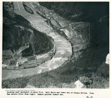
- Title:
- New River Near Crumps Bottom, W. Va.
- Date:
- 1932
- Description:
- 'Looking east southeast at mile 73.2. Bull Falls and lower end of Crumps Bottom. Toms Run enters river from right. Camera pointed toward sun.'
- IDNO:
- 026365
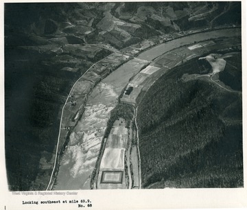
- Title:
- New River
- Date:
- 1932
- Description:
- 'Looking southeast at mile 69.9.'


