Search Constraints
« Previous |
1 - 12 of 23
|
Next »
Search Results
IDNO:
047463
Title:
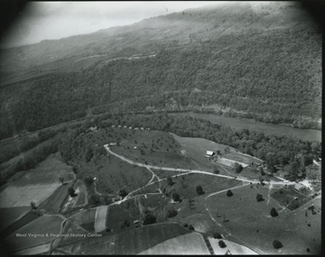
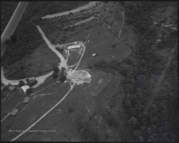
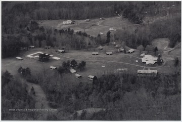
Camp Thomas Lightfoot, Summers County, W. Va.
Date:
ca. 1950
Description:
Aerial view of the camp grounds.
IDNO:
047466
Title:
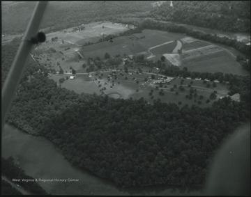
Overlooking Camp Lightfoot, Summers County, W. Va.
Date:
ca. 1958
Description:
Greenbrier River pictured in the background. The photo was taken between Alderson and the camp.
IDNO:
047467
Title:
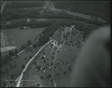
Overlooking Camp Lightfoot, Summers County, W. Va.
Date:
ca. 1958
Description:
Greenbrier River pictured in the background. The photo was taken between Alderson and the camp.
IDNO:
047638
Title:
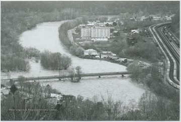
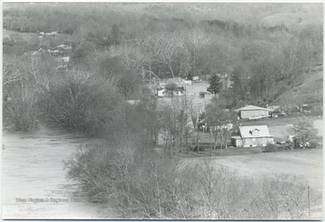
Mouth of the Flooding Greenbier River in Summers or Greenbrier County, W. Va.
Date:
1985
Description:
After a long dry summer, drizzling rains dominated the Potomac Highland region for days. By November 4, a severe storm wreaked havoc as the already dampened soils could no longer receive the excessive rains. The waters extended through Avis to Pence Springs near the Hinton, W. Va.Summers, Greenbrier, Mineral, Hampshire, Grant, Hardy, Pendleton, and Tucker counties were all affected by high water and flooding, as well.
IDNO:
047875
Title:
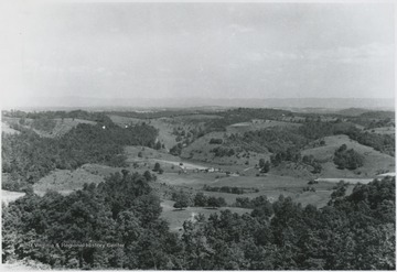
Aerial View of Forest Hill District, Summers County, W. Va.
Date:
ca. 1950
Description:
Overlooking the district. Patches of forest sprout across the hills.
IDNO:
048024
Title:
Aerial View of the Greenbrier River Flood, Summers County, W. Va.
Date:
1977
Description:
Looking over the area in which the flood waters have reached. Homes are close to being hit.
IDNO:
048045
Title:
Aeriel View of Alderson, W. Va.
Date:
ca. 1958
Description:
In the background, the Greenbrier River makes its way toward the town. Alderson prison is pictured among the buildings.
IDNO:
048046
Title:
Alderson Prison Site, Alderson, W. Va.
Date:
ca. 1958
Description:
Aerial photograph of the prison grounds and building.
IDNO:
048091
Title:
Overlooking the Greenbrier River, Lowell, W. Va.
Date:
ca. 1940
Description:
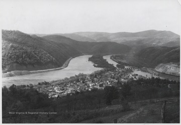
Aerial photograph looks over the river and banks. There appears to be a bridge being constructed parallel to the railroad bridge already in place.
IDNO:
048384
Title:
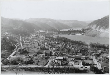
Overlooking the Town of Bellepoint, W. Va.
Date:
ca. 1950
Description:
Aerial view of the town. Bluetone River and dam pictured to the right.
IDNO:
048386
Title:
Aerial View of Bluestone, W. Va.
Date:
undated
Description:
Houses scatter across the valley.
IDNO:
048409
Title:
Aerial View of Bellepoint, W. Va.
Date:
ca. 1950
Description:
View overlooking the town and Bluestone River.
