Search Constraints
« Previous |
1 - 96 of 181
|
Next »
Search Results
IDNO:
011886
Title:
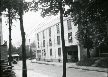
Wharf and Clay Street, Morgantown, W. Va.
Date:
1887
Description:
Wharf and Clay Street looking Northeast.
IDNO:
050361
Title:
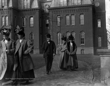
People in Front of Woodburn Hall, West Virginia University
Date:
1890-1920
Description:
Early twentieth century students walking away from Woodburn Hall likely between classes at West Virginia University.
IDNO:
050337
Title:
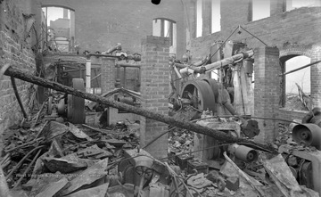
Ruins of Mechanical Hall Destroyed By Fire, West Virginia University
Date:
1899/03/11
Description:
Mechanical Hall was destroyed by a fire on the night of March 3rd, 1899.
IDNO:
028253
Title:
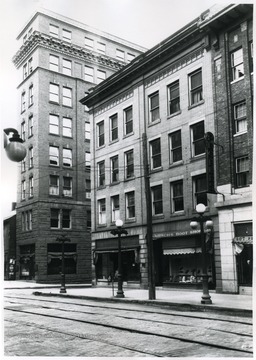
Fleming Building, Morgantown, W. Va.
Date:
1909
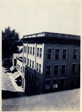
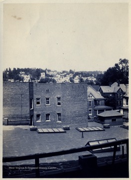
IDNO:
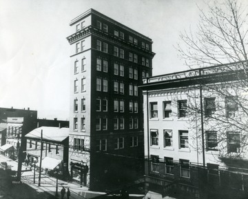
028254
Title:
Eight Story Building, Morgantown, W. Va.
Date:
1911
IDNO:
050356
Title:
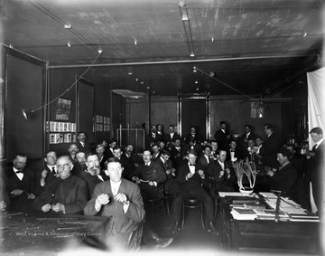
Students In Short Course, 'Grafting' at West Virginia University
Date:
1911/01/12
Description:
Students sit in classroom in Mechanical Hall for short course, 'Grafting'."Flash light-not much good."
IDNO:
051749
Title:
General View of Morgantown, W. Va.
Date:
1913
Description:
View of Morgantown W. Va. and the Monongahela River.
IDNO:
011916
Title:
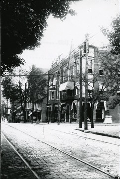
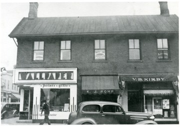
High Street, Morgantown, W. Va.
Date:
1915
Description:
A view of buildings on High Street.
IDNO:
009132
Title:
High Street, Morgantown, W. Va.
Date:
1920
Description:
View of High Street at the corner of Fayette Street and High Street.
IDNO:
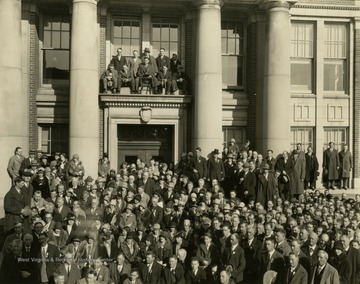
045616
Title:
West Virginia University Teachers Institute Gathered in Front of Oglebay Hall, Morgantown, W. Va.
Date:
1920s
Description:
Print number 393a1.
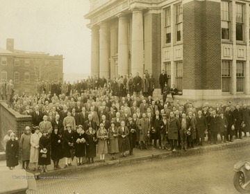
IDNO:
045618
Title:
West Virginia University Teachers Institute Gathered in Front of Oglebay Hall, Morgantown, W. Va.
Date:
1920s
Description:
Print number 393a.
IDNO:
034321
Title:
Building at the corner of Fayette Street and 401 and 403 High Street in Morgantown, W. Va.
Date:
1923
Description:
This photo was taken from the 4th floor on the Strand Theater Building at High Street.
IDNO:
034320
Title:
High Street Scene in Morgantown, W. Va.
Date:
1923
Description:
This photo was taken from the 4th floor on the Strand Theater Building at High and Fayette Street.
IDNO:
020084
Title:
Bird's Eye View of Morgantown, W. Va.
Date:
1925
IDNO:
050346
Title:
Oglebay Hall, West Virginia University
Date:
1925
Description:
View of Oglebay Hall from Quadrangle (Woodburn Circle) during the summer.
IDNO:
050344
Title:
Oglebay Hall, West Virginia University
Date:
1925
Description:
View of Oglebay Hall from Martin Hall during the summer.
IDNO:
011314
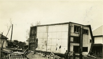
Title:
Tornado Damage, Morgantown, W. Va.
Date:
1929
Description:
Builing knocked over by tornado winds.
IDNO:
011497
Title:
Walnut and University Avenues, Morgantown, W. Va.
Date:
1940-1950
IDNO:
051882
Title:
Morgantown Flour and Feed Co.
Date:
1945
Description:
Front of the Morgantown Flour and Feed Co. building on Clay Street. Large mural for Gold Medal Flour is also on the front of the building. Photographs taken for the West Virginia Geological Survey.
IDNO:
051883
Title:
Morgantown Flour & Feed Co.
Date:
1945
Description:
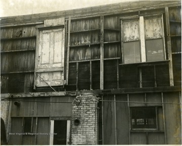
Rear of the Morgantown Flour & Feed Co., which is alongside the railroad tracks.
IDNO:
008771
Title:
Demolition of a High Street Building Destroyed by Fire, Morgantown, W. Va.
Date:
1958
IDNO:
008148
Title:
Site of Kiddytown in Morgantown, W. Va.
Date:
1965
IDNO:
049156
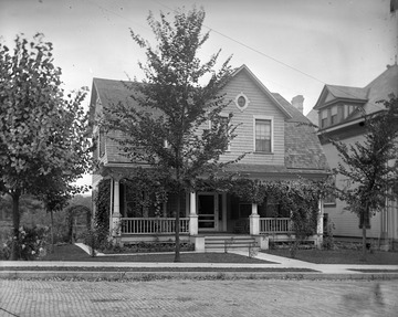
Title:
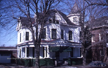
Home on Grand Street, Morgantown, W. Va.
Date:
Undated
Description:
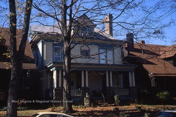
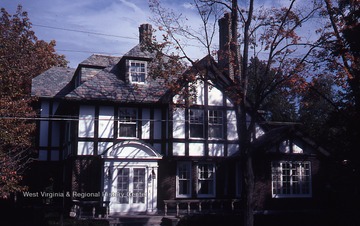
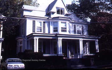
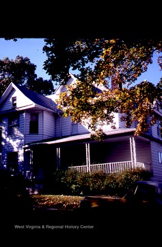
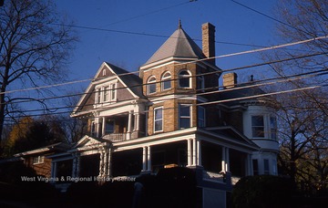
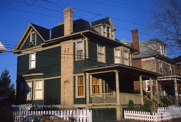
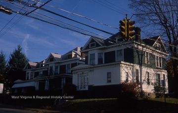
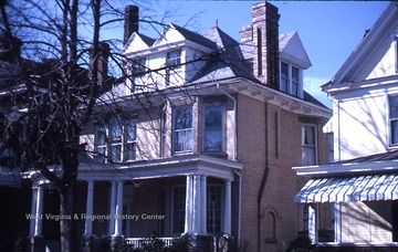
Home on Grand Street in the South Park neighborhood of Morgantown.
IDNO:
050342
Title:
Martin Hall, West Virginia University
Date:
ca. 1890-1920
Description:
Chitwood Hall is picture in the background.
IDNO:
050338
Title:
Martin Hall, West Virginia University
Date:
ca. 1890-1920
IDNO:
050340
Title:
Martin Hall, West Virginia University
Date:
ca. 1890-1920
IDNO:
050349
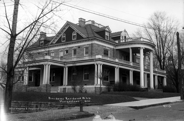
Title:
Presidents Residence, West Virginia University
Date:
ca. 1890-1920
Description:
The Presidents Home is now known as the Purinton House.
IDNO:
050351
Title:
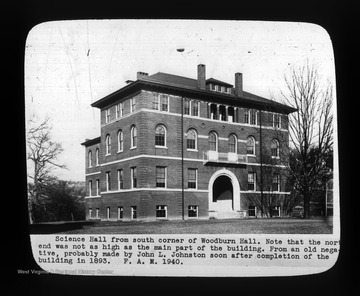
Science Hall, West Virginia University
Date:
ca. 1893
Description:
"Science Hall from south corner of Woodburn Hall. Note that the north end was not as high as the main part of the building. From an old negative, probably made by John L. Johnston soon after completion of the building in 1893. F. A. M. 1940."
IDNO:
011225
Title:
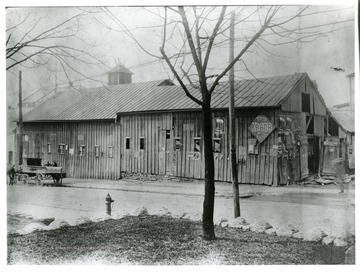
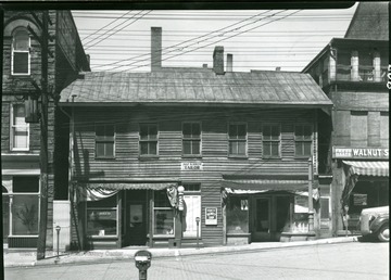
Horse and Wagon beside a Old Wooden Building in Morgantown, W. Va.
Date:
ca. 1900
Description:
Sign on the store advertising 'Tom Keene 5 cent cigar.'
IDNO:
012154
Title:
Pleasant Street, Morgantown, W. Va.
Date:
ca. 1900
Description:
A view of Pleasant Street on the northside showing old brick row.
IDNO:
028278
Title:
Building Next to Harvested Field
Date:
ca. 1905-1925
IDNO:
028244
Title:
Italian Society Building, Morgantown, W. Va.
Date:
ca. 1905-1925
IDNO:
034441
Title:
Aerial View of the Business Section of Morgantown, W. Va.
Date:
ca. 1907-1958
IDNO:
012147
Title:
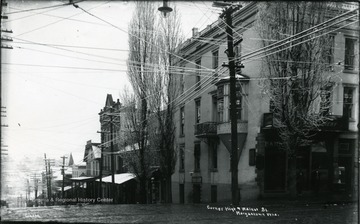
Corner of High and Walnut Streets, Morgantown, W. Va.
Date:
ca. 1910
Description:
Corner of High Street and Walnut Street looking down Walnut Street.
IDNO:
011877
Title:
High Street, Morgantown, W. Va.
Date:
ca. 1910
Description:
A view of High Street in Morgantown, West Virginia.
IDNO:
011879
Title:
Morris Building, East Side High Street, Morgantown, W. Va.
Date:
ca. 1910
IDNO:
038393
Title:
Corner of Old Walnut and Front Streets, Morgantown, W. Va.
Date:
ca. 1910
Description:
The corner business displays multiple advertisements. Front Street is now University Ave.
IDNO:
050567
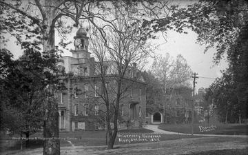
Title:
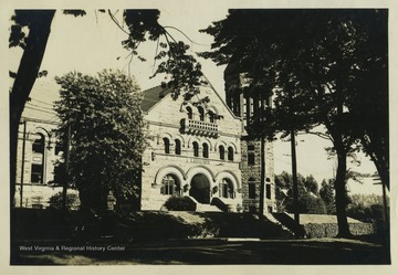
The Old Library at West Virginia University, Morgantown, W. Va.
Date:
ca. 1910-1930
Description:
View of the "Old Library" at West Virginia University, Morgantown W. Va. This building is currently named Stewart Hall. It housed the university library until 1931 and later housed administration offices.
IDNO:
011842
Title:
Corner of Fayette and High Streets, Morgantown, W. Va.
Date:
ca. 1920
Description:
Showing Monongahela Power Building.
IDNO:
011263
Title:
Wiles Block Building, Morgantown, W. Va.
Date:
ca. 1920
IDNO:
011797
Title:
Smith's Tailor Shop and other Walnut Street Businesses, Morgantown, W. Va.
Date:
ca. 1920
Description:
Early Frame building on Walnut Street between Dering Funeral Parlor and the Bergman building.
IDNO:
012157
Title:
Pleasant Street, Morgantown, W. Va.
Date:
ca. 1920
Description:
A view of Pleasant Street showing 'Brick Row.'
IDNO:
038471
Title:
Pleasant Street, Morgantown W. Va.
Date:
ca. 1925
Description:
Pleasant Street lined with businesses, such as Weintrob Brothers, Glassman's and Peoples Market.
IDNO:
011161
Title:
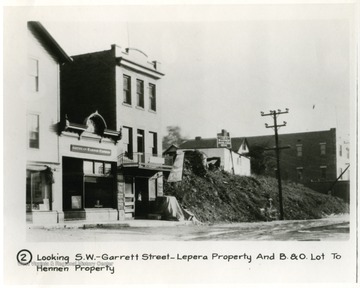
Garrett Street, Morgantown, W. Va.
Date:
ca. 1926
Description:
'Looking South West on Garrett Street-Lepera Property and Baltimore and Ohio Railroad Lot to Hennen Property.'
IDNO:
011162
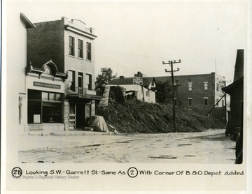
Title:
Garrett Street, Morgantown, W. Va.
Date:
ca. 1926
Description:
Looking South West onto Garrett Street with corner of Baltimore and Ohio Depot visisble.
IDNO:
011869
Title:
Brock, Reed, and Wade Building, Morgantown, W. Va.
Date:
ca. 1930
Description:
A view of the corner of High and Pleasant Streets, showing Brock, Reed, and Wade Building in Morgantown, West Virginia.
IDNO:
008477
Title:
Neville Building in Morgantown, W. Va.
Date:
ca. 1935
Description:
Building was located on the corner of High St. and Pleasant St.
IDNO:
008314
Title:
McLeery Building in Morgantown, W. Va.
Date:
ca. 1935
Description:
'On the S. W. corner of Pleasant and High Streets. First two story building in Morgantown.'
IDNO:
051873
Title:
View of Boreman Hall, Morgantown, W. Va.
Date:
ca. 1939-1951
Description:
View of Boreman Hall from the roof of a neighboring building.
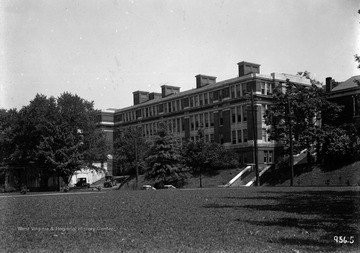
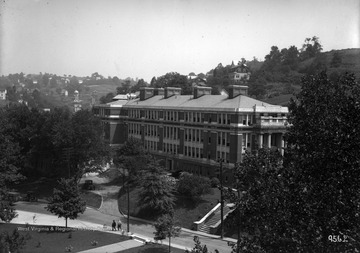
IDNO:
051870
Title:
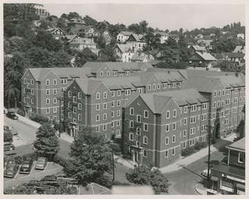
View of Woman's Hall, Now Stalnaker Hall, Morgantown, W. Va.
Date:
ca. 1939-1951
Description:
View of Woman's Hall, now Stalnaker Hall, from the roof of a neighboring building. Several cars are visible on Maiden Lane in front of the building.
IDNO:
051871
Title:
Monongalia General Hospital, Morgantown, W. Va.
Date:
ca. 1939-1951
IDNO:
008135
Title:
Building Torn Down to Make Way for the Pleasant Street Parking Lot in Morgantown, W. Va.
Date:
ca. 1960
IDNO:
008446
Title:
O. J. Morrison's Shop, Morgantown, W. Va.
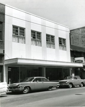
Date:
ca. 1962
Description:
O. J. Morrison's shop in Morgantown, W. Va., after refacing exterior of building. Automobiles parked at meters along the street.
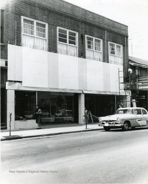
IDNO:
008444
Title:
O. J. Morrison Building, Morgantown, W. Va.
Date:
ca. 1962
Description:
Refacing O. J. Morrison Building on High Street, in Morgantown, W. Va. People passing by the shop.
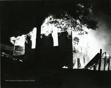
IDNO:
008759
Title:
Fire in Morgantown, W. Va.
Date:
ca. 1963
Description:
Building in Morgantown, W. Va., engulfed in flames. Parts of the building have fallen to the ground and are still ignited.
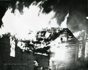
IDNO:
008760
Title:
Fire in Morgantown, W. Va.
Date:
ca. 1963
Description:
A building in Morgantown, W. Va., engulfed in flames. Building is mostly destroyed.
IDNO:
052053
Title:
High Street, Morgantown, W. Va.
Date:
ca. 1963
Description:
View looking south on High Street in Morgantown, W. Va. Businesses visible include Jacobs Men's Wear, Stenger's News, Comuntzis, Mountaineer Sport Shop, Conners One Hour Cleaning, Electric Equipment Co., and others, as well as billboards advertising Coca-Cola and Orange Crush. Photo taken for "Project 63," a revitalization project undertaken in the early 1960s.
IDNO:
022999
Title:
Night Scene of Downtown from Westover, Morgantown, W. Va.
Date:
ca. 1965
IDNO:
051180
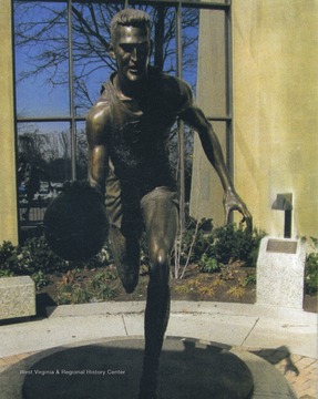
Title:
Jerry West Statue, Morgantown, W. Va.
Date:
ca. 2007
Description:
Sculpted by Jamie Lester, the statue was unveiled February 14, 2007 and stands outside the West Virginia University Coliseum.
IDNO:
011804
Title:
Fleming Building, Morgantown, W. Va,
Date:
ca.1910
IDNO:
049740
Title:
WVU Campus View, Morgantown, W.Va.
Date:
undated
Description:
Image shows Woodburn Hall, Martin Hall, and the construction of Commencement Hall.
IDNO:
053018
Title:
Wiles Hill, Morgantown, W. Va.
Date:
undated
Description:
A newly finished building, likely a church, in the Wiles Hill neighborhood of Morgantown.
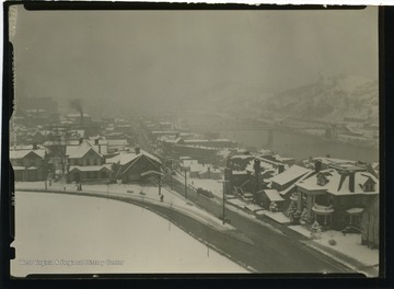
IDNO:
053413
Title:
Morgantown in Winter
Date:
undated
Description:
Photo features snow covered Morgantown, with the Westover Bridge in background. The intersection of University Avenue and Willey Street is at the foreground.
IDNO:
054106
Title:
South Park,128 Wagner Road building
Date:
undated
Description:
128 Wagner Road.Built in 1860. First identified owner was Waitman T. Willey.
IDNO:
054130
Title:
South Park, 313 Maple Avenue Building
Date:
undated
Description:
313 Maple Avenue.First identified owner was Bernard B. Kemper in 1925.
IDNO:
054129
Title:
South Park Photo
Date:
undated
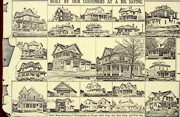
Description:
Sears Roebuck catalog page.
IDNO:
054144
Title:
South Park, 212 Park Street Building
Date:
undated
Description:
212 Park Street.Built in 1902. First identified owner was Dr. Leonidas Cobun. Appears on Sanborn fire maps from 1906-08, 1911-25, 1927-28.
IDNO:
054143
Title:
South Park, 211 Park Street Building
Date:
undated
Description:
211 Park Street.Made in 1906. First identified owner was John Matthew Brown. Appears on Sanborn fire maps from 1906-08, 1911-25, 1927-28.
IDNO:
054152
Title:
South Park, 233 Park Street Building
Date:
undated
Description:
223 Park Street.Built in 1903. First identified owner was John L. Dougan. Appears on Sanborn fire maps from 1906-08, 1911-25, 1927-28.
IDNO:
054151
Title:
South Park, 224 Park Street Building
Date:
undated
Description:
224 Park Street.Built in 1909. First identified owner was Capt. George W. McVicker. Appears on Sanborn fire maps from 1921-25, 1927-28.
IDNO:
054157
Title:
South Park, 257 Park Street Building
Date:
undated
Description:
257 Park Street.Built in 1901. First identified owner was Florence D. Bolton (1914). Appears on Sanborn fire maps from 1906,1911,1921,1927.
IDNO:
054158
Title:
South Park, 257 Park Street Building
Date:
undated
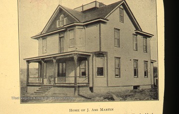
Description:
257 Park Street.Built in 1901. First identified owner was J. Ami Martin. Appears on Sanborn fire maps from 1906, 1911,1921, 1927.
IDNO:
054164
Title:
South Park, 416-420 Park Street Building
Date:
undated
Description:
416-420 Park Street.Built in 1906. First identified owners were William E. Dickinson and Edwin F. Church Jr. (1909). Appears on Sanborn fire maps from 1911, 1921, 1927.
IDNO:
054170
Title:
South Park, 442 Park Street Building
Date:
undated
Description:
442 Park Street.Built in 1902. First identified owner was Jasper Newton Deahl (1906). Appears on Sanborn fire maps in 1911, 1921, 1927
IDNO:
054169
Title:
South Park, 438 Park Street Building
Date:
undated
Description:
438 Park Street.Built in 1922. First identified owner was Clynde Brand (1922). Appears on Sanborn fire maps in 1927.
IDNO:
054172
Title:
South Park, 443 Park Street Building
Date:
undated
Description:
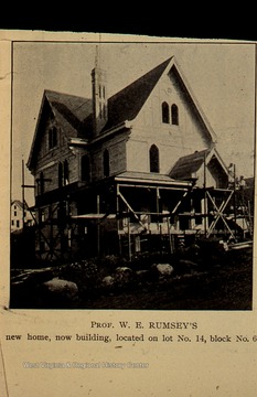
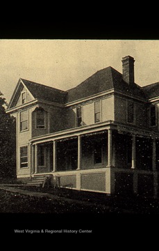
443 Park Street.Built in 1904. First identified owner was William Rumsey (1906). Appears on Sanborn fire maps in 1911, 1921, 1927.
IDNO:
054171
Title:
South Park, 442 Park Street Building
Date:
undated
Description:
442 Park Street.Built in 1902. First identified owner was Jasper Newton Deahl. Appears on Sanborn fire maps in 1911, 1921, 1927.
IDNO:
054180
Title:
South Park, 517 Park Street Building
Date:
undated
Description:
517 Park Street.Built in 1904. First identified owner was Edgar Stewart (1906). Appears on Sanborn fire maps in 1911, 1921, 1927.
IDNO:
054207
Title:
South Park, 901 Grandview Avenue Building
Date:
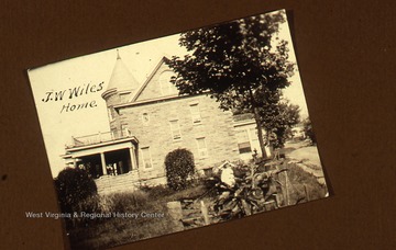
undated
Description:
901 Grandview Avenue.Built in 1906. First identified owner was John W. Wiles. Appears on Sanborn fire maps in 1927.
IDNO:
054213
Title:
South Park, 200 Jackson Avenue Building
Date:
undated
Description:
200 Jackson Avenue.Built in 1905. First identified owner was Eli Marsh Turner (1906). Appears on Sanborn fire maps in 1921 and 1927.
IDNO:
054212
Title:
South Park, 313 Grandview Avenue Building
Date:
undated
Description:
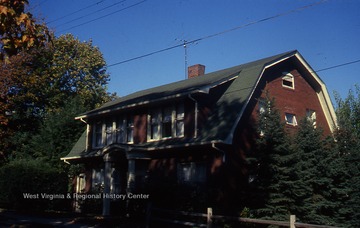
313 Grandview Avenue.Built in 1907. First identified owner was Daniel Boardman Purinton (1920).
IDNO:
054222
Title:
South Park, Grand Street Building
Date:
undated
Description:
515 Grand Street.Built circa 1901. First identified owner was I. Grant Lazelle. Appears on Sanborn fire maps in 1921, 1923, 1927.
IDNO:
054221
Title:
South Park, Grand Street Building
Date:
undated
Description:
515 Grand Street.Built circa 1901. First identified owner was I. Grant Lazzelle. Appears on Sanborn fire maps in 1921,1923,1927.
IDNO:
054227
Title:
South Park, Wilson Avenue Building
Date:
undated
Description:
225 Wilson AvenueBuilt circa 1906. First identified owner was Mary L. Hennen (1910). Appears on Sanborn fire map in 1911, 1921, 1927.
IDNO:
054228
Title:
South Park, Wilson Avenue Building
Date:
undated
Description:
Built in 1906. First owners were Cora Miller and Lucy Donley. Appears on Sanborn fire map in 1906,1911,1921,1927.
IDNO:
054234
Title:
South Park, Grand Street Building
Date:
undated
Description:
213 Grand StreetBuilt circa 1901. First identified owner was Benjamin S. Dering. Appears on Sanborn fire map in 1906,1911,1921,1927.
IDNO:
054233
Title:
South Park, Grand Street Building
Date:
undated
Description:
228 Grand StreetBuilt circa 1903. First identified owner was John B. Wallace. Appears on Sanborn fire map in 1906,1911,1921,1927.
IDNO:
054240
Title:
South Park, Jackson Avenue Building
Date:
undated
Description:
203 Jackson StreetBuilt circa 1930. First identified owner was Professor Edward S. Maclin. Appears on Sanborn fire map in 1927.
IDNO:
054239
Title:
South Park, Park Street Building
Date:
undated
Description:
519 Park StreetBuilt circa 1920. First identified owner was Wilbur J. Kay. Appears on Sanborn fire map in 1921 and 1927.
IDNO:
054245
Title:
South Park, Franklin Street Building
Date:
undated
Description:
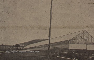
238 Franklin StreetThe South Park Greenhouse (Carnation House). Built in 1904. First identified owner was P. Stewart, a florist.
IDNO:
054246
Title:
Morgantown High School, Sanborn Map
Date:
undated
Description:
Taken from Sanborn fire map, year 1927.
IDNO:
054251
Title:
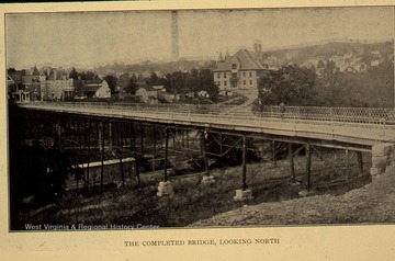
Pleasant Street Bridge
Date:
undated
Description:
Built in 1981.
IDNO:
054258
Title:
South Park Jackson Building
Date:
undated
Description:
104 Jackson StreetBuilt in 1929. First owner was Perry D. Strausbaugh. Appears on the Sanborn fire maps in 1927.
IDNO:
054257
Title:
South Park Jackson Building
Date:
undated
Description:
100 Jackson StreetBuilt in 1923. First known owner was Harry E. Knowlton. Appears on Sanborn fire map in 1927.
IDNO:
054263
Title:
South Park, Grand Street Building
Date:
undated
Description:
313 Grand StreetBuilt in 1920, this building was number 307 in the 1914~15 South Park directory. First known owner was Joseph R. Hughart. Appears on Sanborn fire maps 1911,1921,1927.
IDNO:
054264
Title:
South Park, Wilson Building
Date:
undated
Description:
Built in 1908. First known owner was Lucy and John Dougan. Appears on Sanborn fire map 1911, 1921, and 1927.
