Search Constraints

You searched for: Geographic Names Virginia--History--Civil War, 1861-1865--Battlefields. Remove constraint Geographic Names: Virginia--History--Civil War, 1861-1865--Battlefields.
Number of results to display per page

Search Results

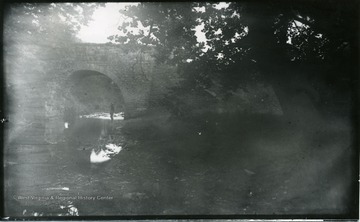
83 D (51).  July 28, 1884, Monday 2:30 p.m. cloudy.  About 2 miles south up the valley from Strasburg, Va.   The pike here climbs an embankment and then goes over the bridge and turns a right angle up the valley of Tumbling Run.   We turned off to the lower (East) side and eat our dinner under the big trees on the right.  A ghost of the carriage can be made out.  This view would have made a fine picture if the Neg had not fogged in the development.
View G.N.E. from rear of Gordon's position.  Strasburg in distance.  87 D (53) Monday July 28, 1884 5 p.m.
'Winchester is behind. The ground is that between the two armies before the last attack of the Federals. The Union men formed line on the slight rise of ground which makes the horizon, and the Conf. were where we stand. Under the trees on the left is a fine old mansion where W. went to go get milk. The next view (No 108) is taken from the place looking in the same general direction as this. The battle referred to in this and the following view is Sheridan's in 1864. 107.D.(64); July 31, 1884, Thursday 12:10 p.m.'
'Looking towards the Blue Ridge, the eastern wall of "the Valley." The line of the range of Mts. can be scarcely distinguished in the photograph, though the blue line was very easily seen by us when on the spot.  Two noted passes on gaps were in sight. Ashby's gap on the extreme right and "Snickers gap" on the extreme left. Under the trees on the left we sat after dinner and read our letters which were received at Winchester. 108.D(65); July 31, 1884, Thursday 1-15 pm. hazy'
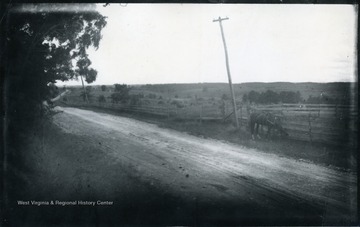
'Looking N. from a little sandy hill on right of pike and nearly alongside Dinkler's farm house seen in No 113. The place of the pike is shown by the telegraph wires through the road itself is low and hidden by the fringes of bushes. 110.D.66 I.C.; July 31, 1884, Thursday 3:50 pm, dark, cloudy'
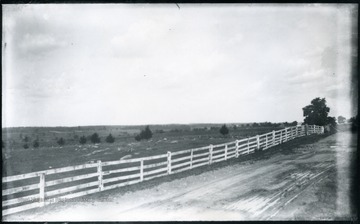
'End of Sheridan's famous ride to battlefield of Cedar Creek looking North. The ridge on the left where the whole fenced cemetery stand was held for a while by our troops and then they were forced back parallel with the pike beyond Middletown, a few houses of which are seen on the right. At the first of them, on the right of the pike. Walter drew water from a well out in the field for the team. (62)D.101; July 30, 1884, Wednesday 12:45 pm'