Search Constraints
« Previous |
1 - 12 of 50
|
Next »
Search Results
IDNO:
047638
Title:
Mouth of the Flooding Greenbier River in Summers or Greenbrier County, W. Va.
Date:
1985
Description:
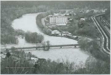
After a long dry summer, drizzling rains dominated the Potomac Highland region for days. By November 4, a severe storm wreaked havoc as the already dampened soils could no longer receive the excessive rains. The waters extended through Avis to Pence Springs near the Hinton, W. Va.Summers, Greenbrier, Mineral, Hampshire, Grant, Hardy, Pendleton, and Tucker counties were all affected by high water and flooding, as well.
IDNO:
047910
Title:
Mouth of Griffith Creek near Greenbrier River, Summers County, W. Va.
Date:
ca. 1930
Description:
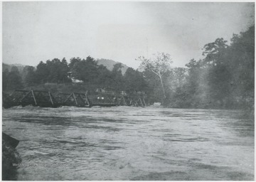
Piers of Glen Ray Lumber Co. emerging to create Railroad Bridge.
IDNO:
047911
Title:
Railroad Bridge near Alderson, W. Va.
Date:
ca. 1906
Description:
Glen Ray Lumber Co.'s construction site for the bridge on Greenbrier River.
IDNO:
047983
Title:
National Guard Truck Caught in Greenbrier River Flood, Summers County, W. Va.
Date:
ca. 1985
Description:
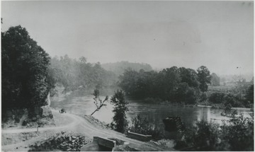
Flood waters surge toward the truck as it attempts to make its way across the road.
IDNO:
047984
Title:
Greenbrier River Flood, Summers County, W. Va.
Date:
ca. 1985
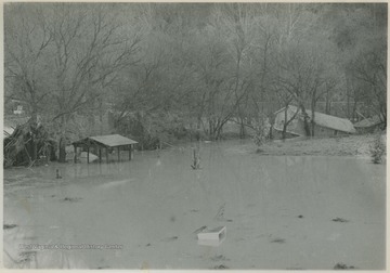
Description:
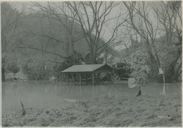
High rising waters cut through wooden structures. Perhaps at one point this was a shed.
IDNO:
047985
Title:
Greenbrier River Flood Damage, Summers County, W. Va.
Date:
ca. 1985
Description:
A house in the background is tilted on its side. Tree tops can be seen sticking out of the water.
IDNO:
047987
Title:
A Couple Standing Next to Greenbrier River, Summers County, W. Va.
Date:
ca. 1936
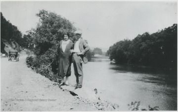
Description:
The two unidentified persons pose beside the river on what is now Route 3 below Alderson, W. Va.
IDNO:
047988
Title:
Greenbrier River Valley, Talcott, W. Va.
Date:
ca. 1950
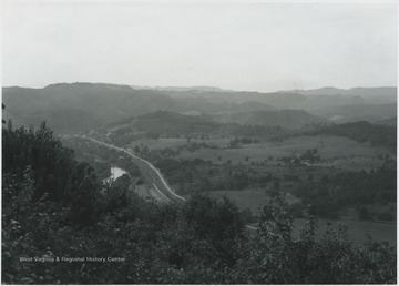
Description:
Overlooking the valley from a mountaintop view. The river was named by Col. John Lewis in 1751. It flows from Randolph County, through Pocahontas and Monroe counties, and into New River near Hinton, W. Va.
IDNO:
047989
Title:
Greenbrier River at Site of Willow Bridge, Summers County, W. Va.
Date:
ca. 1950
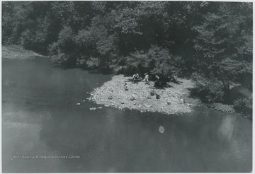
Description:
Looking down from the bridge at a group of unidentified boys. Just below the bridge is the entry of Howards Creek into Greenbrier River.
IDNO:
047990
Title:
View of Greenbrier River from Willowood Bridge, Summers County, W. Va.
Date:
ca. 1950
Description:
Hills pictured in the background to create this picturesque view. Willowood County Club is located to the right of the photo.
IDNO:
047991
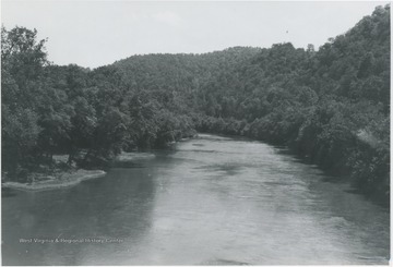
Title:
Looking Up Greenbrier River from Willowood Bridge, Summers County, W. Va.
Date:
ca. 1950
Description:
View of the river cutting through a crowded forest.
IDNO:
047992
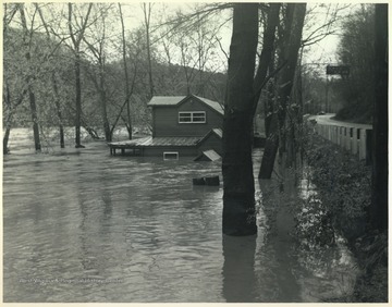
Title:
Tavern Flooded by Greenbrier River Flood, Summers County, W. Va.
Date:
undated
Description:
Old Kozy Cove, an establish beer joint, is pictured mostly submerged in flood waters. To the right is Route 3.
